



The Data set explorer provides a simple, immediate ‘dashboard’ access to all the data sets and their summary information. Clicking on a data set summary box will provide additional info as well as access to explore deeper using filtering and charting tools.

Previous tips can be found under the Software tip category in the News section and in the Archives section of our website.
Latest news

Peak finder – Geoscience ANALYST geoapps: Python application
Past event. Link to recording available here.
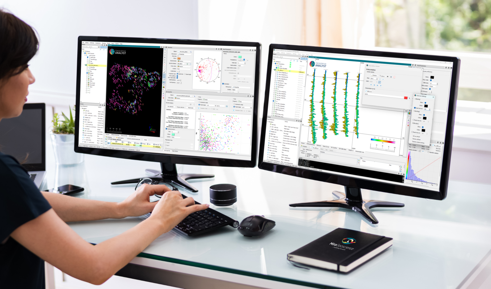
New release – Geoscience ANALYST 4.8
Geoscience ANALYST 4.8 delivers exciting new enhancements across all product options. Upgrade today!

New release – Geoscience INTEGRATOR 4.1
Geoscience INTEGRATOR 4.1 unveils a range of new features and improvements designed to boost performance and enhance user experience.

Using Python with Geoscience ANALYST
A new Geoscience ANALYST Python API, providing the capability of connecting to open source software, is scheduled for release....

Footprints project public data repository available soon
Project-generated and previously public data, models, and documents from the NSERC-CMIC mineral exploration project, “Integrated Multi-Parameter Footprints of Ore Systems...
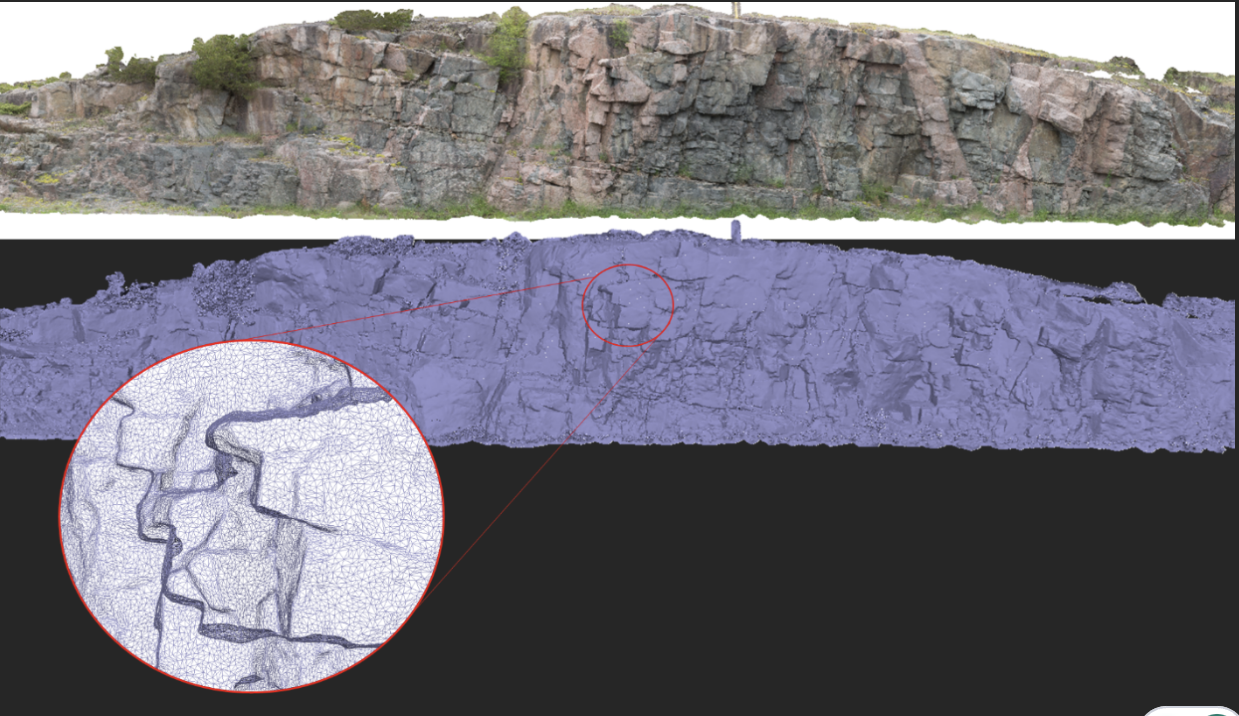
Creating Mappable Surfaces
Capture geological observations quickly, safely, and accurately, both in the field and office with HiveMap...

Search for Objects – find anything, anywhere, anytime
In GOCAD Mining Suite find any objects you're looking for in no time...

No-data values on import templates
In Geoscience INTEGRATOR, you can prevent importing no-data value strings by providing a general NDV to be applied to all properties of the template...

Let the data speak!
Four years ago, along with DMT Group, we started working with JSC Apatit on their Kirovski and Rasvumchorr mines that...

Building a geological framework from exploratory modelling of magnetic data – Virtual Lecture
Join us on May 19, 2022 at 11am Pacific Time as Shaun O'Connor will demonstrate how to use the built-in scripting tools for exploratory geological modelling with sparse data...

Using predictive modelling in mineral exploration
We carried out targeting work for IOCG-style mineralisation in the Mt Dore area of QLD, Australia. We produced a 3D model and predictive exploration map...

Display multiple Voxet sections
In GOCAD Mining Suite, you can create additional sections, hide/show them, use the slider and arrow to position them along the Voxet, and delete them...