New release – Geoscience ANALYST 4.4
Geoscience ANALYST 4.4 is here with a fresh new look and exciting new features to take your project to the next level!


| Features | Free Viewer | Pro | Pro Geophysics | Pro Geology |
| Import, visualize, annotate, save, and distribute 3D geoscientific and mining data, models, and embedded documents/files | ✓ | ✓ | ✓ | ✓ |
| GEOH5 open format with fast saving to disk (saves only new/changed data) | ||||
| Object types: drillholes/wells; points, curves/polylines; wireframe surfaces; 2D grids; 3D block models; regular, tensor, and octree 3D grids; 2D draped models (topo-draped, crooked-line 2D sections) | ||||
| Float, integer, binary, text, datetime and reference (categorical) data on all objects | ||||
| Tabular display of data values linked to visualization | ||||
| 3D viewport, 3D spherical viewport, map viewport, 2D cross plot, 2D profile plot, decay curves plot, and stereonet | ||||
| Interactive model clipping and slicing | ||||
| Drape objects on surfaces and grids | ||||
| Texture drape geoimages and grids on surfaces; hillshading on 2D grids | ||||
| Data blending on 3D block models, 2D draped models, and 2D grids | ||||
| Customizable colourmaps |
| Features | Free Viewer | Pro | Pro Geophysics | Pro Geology | ||
| acQuire GIM Suite database | Geosoft XYZ, GRD, GDB | OBJ | ✓ | ✓ | ✓ | ✓ |
| AMIRA TEM | Geosoft XYZ, GRD, GDB | ODBC drillholes (v 2.0) | ||||
| ASCII | GEOVIA ASCII files | Open Mining Format (OMF) | ||||
| AutoCAD DXF, DWG | GOCAD objects | Raster GeoTIFF, ERS, GRD | ||||
| Datamine | ioGAS | SEG-Y 2D/3D | ||||
| EDI, Parametric | LAS drillhole files (v 2.0) | UBC-GIF | ||||
| ESRI SHP | Maxwell plates | VP models | ||||
| GEOH5 open format | NetCDF | |||||
| Features | Free Viewer | Pro | Pro Geophysics | Pro Geology |
| All objects to the GEOH5 open format | ✓ | ✓ | ✓ | ✓ |
| All data tables to CSV | X | ✓ | ✓ | ✓ |
| 3D viewport and map viewport to GeoTIFF | X | ✓ | ✓ | ✓ |
| Points to AutoCAD DXF, Datamine, GOCAD ASCII, ESRI SHP, CSV, OMF | X | ✓ | ✓ | ✓ |
| Curves to AutoCAD DXF, Datamine, GOCAD ASCII, ESRI SHP, CSV, OMF, Geosoft GDB, GEOVIA ASCII | X | ✓ | ✓ | ✓ |
| Surfaces to AutoCAD DXF, Datamine, GOCAD ASCII, ESRI SHP, CSV, OMF, GEOVIA ASCII | X | ✓ | ✓ | ✓ |
| Drillhole collar, survey, interval, and point logs to CSV | X | ✓ | ✓ | ✓ |
| Drillholes to LAS files (v 2.0) | X | ✓ | ✓ | ✓ |
| Drillhole path to Datamine string file | X | ✓ | ✓ | ✓ |
| 2D draped models to CSV and UBC 2D mesh | X | ✓ | ✓ | ✓ |
| 2D grids to TIFF, CSV, OMF, ERS | X | ✓ | ✓ | ✓ |
| VP models to VP ASCII file formats and CSV | X | ✓ | ✓ | ✓ |
| UBC-GIF observation, mesh, and model files to UBC-GIF ASCII file formats | X | ✓ | ✓ | ✓ |
| UBC-GIF TEM/FEM files (1D, 3D, 3D "v2") to UBC-GIF ASCII file formats | X | X | ✓ | X |
| Features | Free Viewer | Pro | Pro Geophysics | Pro Geology |
| Create ternary colour data from 3 user-specified data types on all object types other than surfaces, 2D draped models, and drillholes | X | ✓ | ✓ | ✓ |
| Create 2D grids, surfaces, 3D block models, octree grids, and VP layered models interactively | X | ✓ | ✓ | ✓ |
| K-means clustering | X | ✓ | ✓ | ✓ |
| Masking data (binary inclusion/exclusion to define object sub-domains) | X | ✓ | ✓ | ✓ |
| Minimum curvature gridding | X | ✓ | ✓ | ✓ |
| Scripting on object properties | X | ✓ | ✓ | ✓ |
| Data transfer between objects | X | ✓ | ✓ | ✓ |
| Coordinate system transformation | X | ✓ | ✓ | ✓ |
| Animation of time-dependent objects and data | X | ✓ | ✓ | ✓ |
| Translate / rotate / scale objects | X | ✓ | ✓ | ✓ |
| Densify wireframe surfaces and curves to add more triangles or segments | X | ✓ | ✓ | ✓ |
| Reclassify reference data and classify numeric (float or integer) data | X | ✓ | ✓ | ✓ |
| Create discretized shapes within a 3D block model and 2D draped model | X | X | ✓ | ✓ |
| Features | Free Viewer | Pro | Pro Geophysics | Pro Geology |
| Drillhole analysis, design, and monitoring | X | ✓ | ✓ | ✓ |
| Calculate distance to drillholes and visualize on geological model | X | ✓ | ✓ | ✓ |
| Create points from drillhole collars | X | ✓ | ✓ | ✓ |
| Create composite interval logs | X | ✓ | ✓ | ✓ |
| Desurvey drillholes | X | ✓ | ✓ | ✓ |
| Calculate drillhole statistics | X | ✓ | ✓ | ✓ |
| Transfer point data to drillholes | X | ✓ | ✓ | ✓ |
| Features | Free Viewer | Pro | Pro Geophysics | Pro Geology |
| Ground and airborne gravity and magnetics | X | ✓ | ✓ | ✓ |
| DC/IP | X | ✓ | ✓ | ✓ |
| Seismic reflection | X | ✓ | ✓ | ✓ |
| Topographic drape with aircraft parameters | X | X | ✓ | X |
| Features | Free Viewer | Pro | Pro Geophysics | Pro Geology |
| Fourier domain filtering, compute IGRF, gravity corrections, trend removal | X | ✓ | ✓ | ✓ |
| Edge detection, trend lines, merge grids | X | X | ✓ | ✓ |
| Bi-directional gridding and multi-trend gridding for 2D grids | X | X | ✓ | X |
| Extract depth slices from 3D models | X | X | ✓ | X |
| 1D spatial and FFT filters, and peak finder | X | X | ✓ | X |
| EM mean and percentile uncertainties per line | X | X | ✓ | X |
| Support for all industry standard AEM system waveforms/channels | X | X | ✓ | X |
| Base station/instrument drift and lag correction for receiver position offsets | X | X | ✓ | X |
| Euler deconvolution and automatic gain control on 2D grids | X | X | ✓ | X |
| Features | Free Viewer | Pro | Pro Geophysics | Pro Geology |
| Create 3D grid/block model with padding and increasing cell size with depth | X | ✓ | ✓ | ✓ |
| Unlimited gravity, magnetic (TMI), and gravity gradient forward modelling | X | ✓ | ✓ | ✓ |
| Unlimited gravity, magnetic (TMI), and gravity gradient unconstrained inversion | X | ✓ | ✓ | ✓ |
| Assign 3D grid/block model cells to geological units | X | ✓ | ✓ | ✓ |
| EM loop modelling | X | ✓ | ✓ | ✓ |
| Magnetic component and remanent magnetization modelling and inversion | X | X | ✓ | X |
| Geological contact and depth to basement inversion | X | X | ✓ | X |
| Geologically-constrained inversion | X | X | ✓ | X |
| Physical property inversion across all non-seismic methods | X | X | ✓ | X |
| Create VP model using an unconstrained model designer or from octree | X | X | ✓ | X |
| Apply drillhole constraints to VP models | X | X | ✓ | X |
| Resample data (points, curves, and 2D grids) to VP model | X | X | ✓ | X |
| Simple plate(s) forward modelling with overburden (all non-seismic methods) | X | X | ✓ | X |
| User interface to UBC-GIF* modelling and inversion | X | X | ✓ | X |
| User interface to Fullagar Geophysics Parametric and VPem3D* inversion | X | X | ✓ | X |
| Create Gaussian blur on block model data | X | X | ✓ | X |
| Transfer and interpolate data from multiple 2D draped models to a block model | X | X | ✓ | X |
| VP Suite integration: VPmg, VPem1D | X | X | ✓ | X |
|
SimPEG Suite integration: (all 3D octree unless specified)
– Apparent conductivity inversion (MobileMT) – MVI: scalar and tensor data, and large scale (PDE solver) – Gravity: scalar and tensor data – DC Resistivity and IP: 2D and 3D – Natural Sources: magnetotelluric, tipper – TEM: airborne and ground 3D or laterally constrained 1D, arbitrary receiver orientation – FEM: airborne and ground 3D or laterally constrained 1D, arbitrary receiver orientation – Joint Surveys: multi-systems, single physical property – Joint Cross-Gradients: up to three physical properties – Petrophysical Guided Inversion (PGI) – Block model to octree model conversion – Automated plate modelling |
X | X | ✓ | X |
| Prepare data, create 3D grids, incorporate physical property constraints, and run inversions for UBC-GIF* and VP Suite programs | X | X | ✓ | X |
(*) UBC-GIF, Fullagar Geophysics Parametric, and VPem3D codes are sold separately. Available UBC-GIF codes include: GRAV3D, GG3D, MAG3D, MVI, DCIP2D, DCIP3D, MVI, OCTGRVDE, OCTMAGDE, DCIPoctree, E3DMT (MT/ZTEM), and TDoctree (TEM).
| Features | Free Viewer | Pro | Pro Geophysics | Pro Geology |
| Download satellite data (XYZ tiled maps only) | X | X | ✓ | ✓ |
| Geological modelling (GemPy implicit modelling) | X | X | ✓ | ✓ |
| Principal component analysis | X | X | ✓ | ✓ |
| Interpolation with RBF and neural kriging | X | X | ✓ | ✓ |
| Surface from single curve, dip, and length | X | X | ✓ | ✓ |
| Section interpretation | X | X | X | ✓ |
|
Connection to Large Language Models (LLM):
– Relogging drillholes by mapping text fields to new classification – Language translation of drillhole records – Summarize text data on objects with optional user context – Includes models with Zero Data Retention (ZDR) – Ability to use your own API key and to use local Ollama model |
X | X | X | ✓ |
| Prospectivity mapping (2D and 3D) with ‘Targeting Workflow’ | X | X | X | ✓ |
| Domain mapping with Simple Linear Iterative Clustering (SLIC) segmentation | X | X | X | ✓ |
| Centered log ratio normalization | X | X | X | ✓ |
| Density-based spatial clustering (DBSCAN) to reveal natural geological groups | X | X | X | ✓ |
| Self-organizing map clustering to reveal patterns in multivariate data | X | X | X | ✓ |
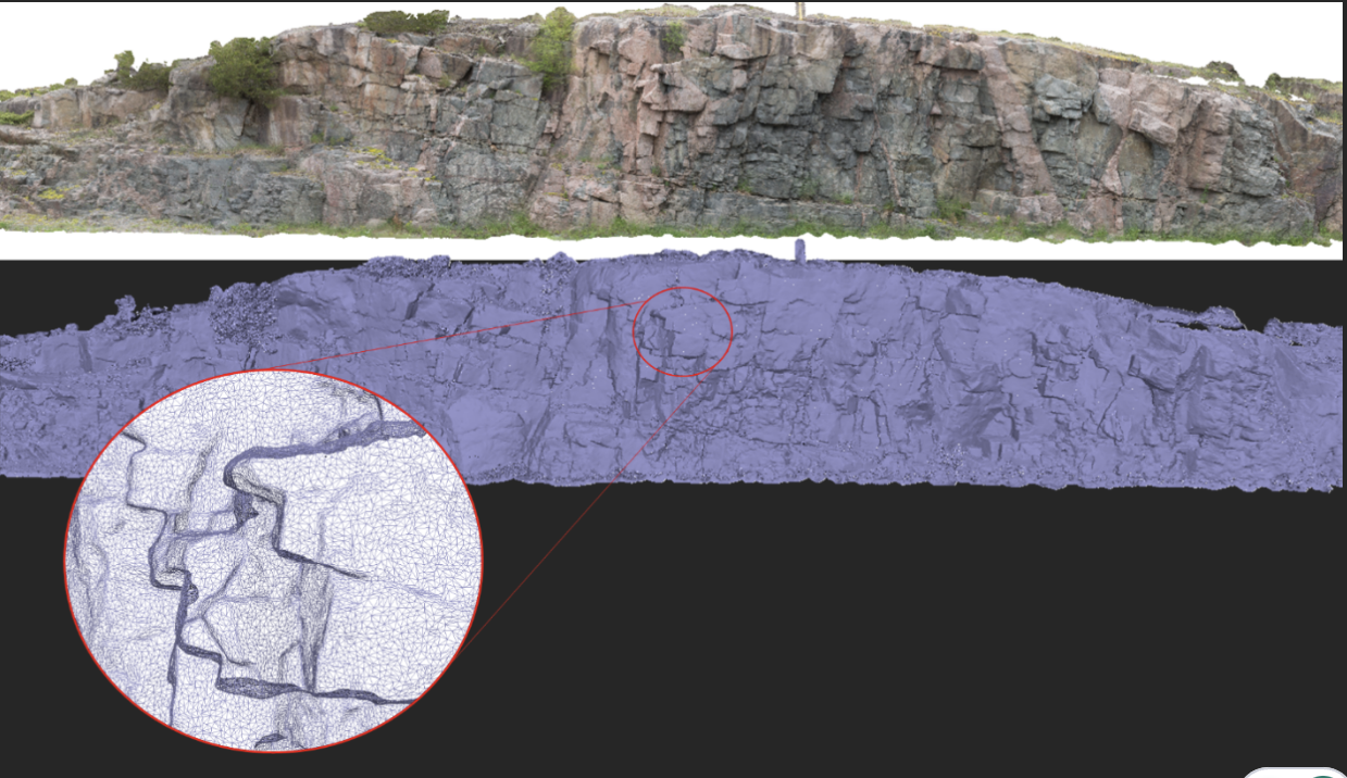
| Closed surface creation from curves and points (explicit wireframing) | X | X | X | ✓ |
| Repair closed surfaces (solids), e.g. hole filling, surface reconstruction | X | X | X | ✓ |
| Block model geological classification by cell from closed surfaces (solids) | X | X | X | ✓ |
| Features | Free Viewer | Pro | Pro Geophysics | Pro Geology |
| Python API | ✓ | ✓ | ✓ | ✓ |
| Live connection to Geoscience INTEGRATOR data management system | ✓ | ✓ | ✓ | ✓ |
| Live connection to Python including geoapps, plus Python UI creation tools | X | ✓ | ✓ | ✓ |
| Live connection to ioGAS and Maxwell | X | ✓ | ✓ | ✓ |
| API for running inversions on cloud-hosted or on-premise HPC environments | X | X | ✓ | X |