UDMN Award of Excellence
Geoscience INTEGRATOR wins - Last December, UDMN presented us with an Outstanding Achievement in Commercialization...


We have years of experience in 4D-GIS-based geotechnical hazard assessment for open pit and underground mining projects. Our team has the skills and technology to forecast geotechnical hazards quantitatively for design or automated monitoring applications by combining all the relevant geological, geotechnical, and mining data. We transform rock type, structure, rock quality, seismicity, deformation, support, geometry, production, and other data into a set of spatially modelled, normalized, and weighted hazard criteria that are combined into an overall hazard assessment. It is an expert-system approach providing continuous access to the input data and interpretation in order to build confidence through visual, as well as statistical, validation of hazard zones. We have successfully executed geotechnical hazard assessment projects at mine sites around the world, from forecasting rockburst and water inflow hazards in deep Canadian mines, to slope stability hazards in large South African open pits, and roof fall hazards in Australian coal mines.
”We bring together true 4D multi-disciplinary data management, modelling, query, and expert-system analysis to forecast the geotechnical hazards quantitatively for design or real-time monitoring applications.


We use our own GOCAD/SKUA-based Geohazmap Workflow and specialized databases to provide a powerful solution for geotechnical hazard assessment and monitoring, including quantitative, multi-disciplinary 4D back-analysis. The system computes geotechnical hazards using either a knowledge-driven or data-driven approach. Complex relationships among geology, structure, stress, and seismic data are handled by the underlying power of the spatial modelling engine. The system handles any type of ground failure or hazard for which objective criteria can be developed. Users either define how criteria are spatially, temporally, and quantitatively related to hazards, or apply relationships developed by machine learning back-analysis from a history of site hazard.
Combines a 3D-GIS query environment with a 4D relational data management system. Brings together true 4D multi-disciplinary data management, modelling, query, and expert-system analysis on a single platform. The technology is especially suited to the dynamic data routinely encountered in mining and provides direct support for time-dynamic assessments of geotechnical hazards.


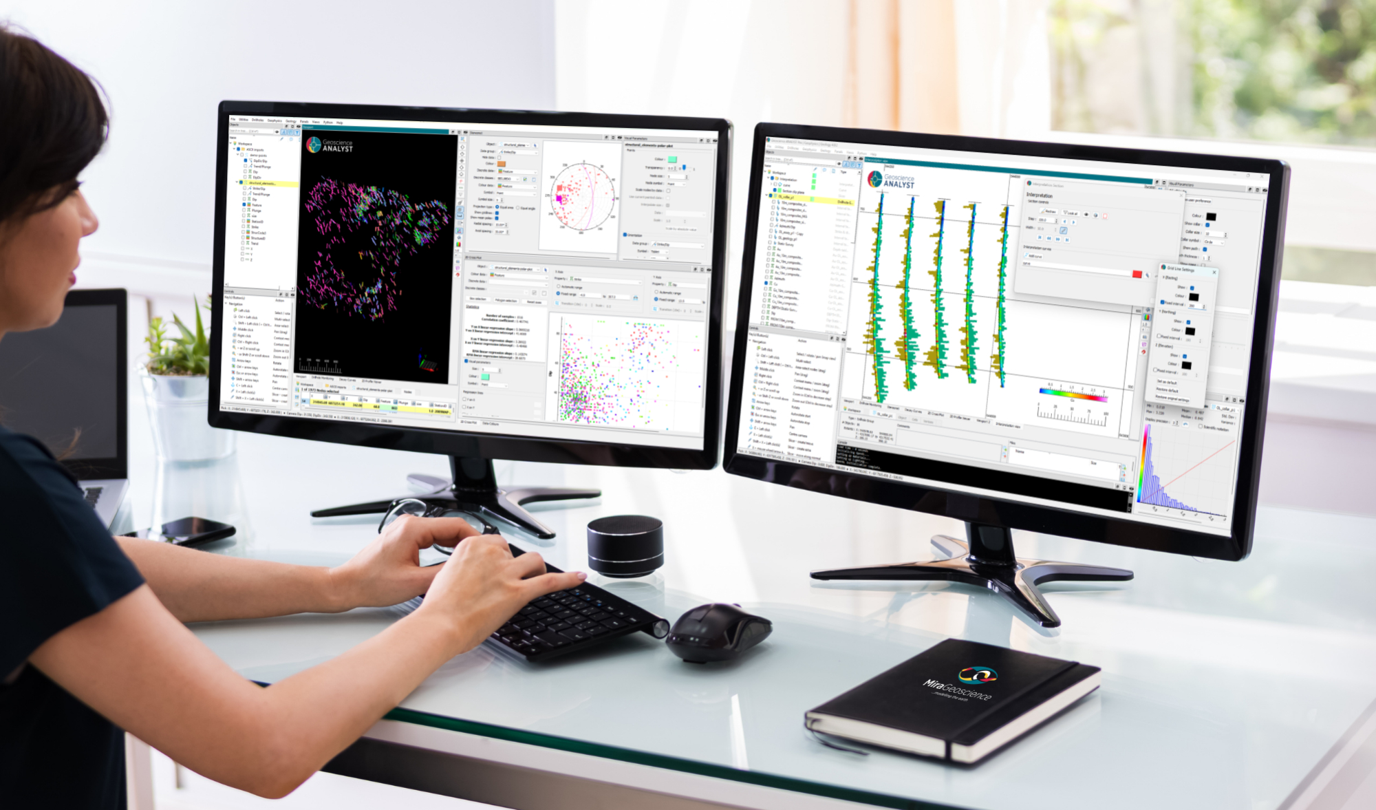
Mira Geoscience ensures fast, intuitive, and accurate 3D earth models, regardless of your data types. We work with geological, geophysical, geochemical, and geotechnical data from different mining industry formats: ArcGIS, MapInfo, AutoCAD, GOCAD/SKUA, Gemcom, Surpac, CAE Studio, Vulcan, Geosoft, Leapfrog, ER Mapper, ioGAS, UBC-GIF, VPmg, Profile Analyst, Maxwell, and others.
Our specialized geotechnical hazard analysis services rely on the experience of a seasoned team that has worked on a great variety of international projects. Whatever the particular hazard under analysis (for example, slope failure, rockburst, or water inflow), our team has the skills to integrate complex, multidisciplinary datasets to identify locations where specific combinations of hazardous conditions exist. Our straightforward process facilitates the definition of hazard assessment objectives, individual hazard criteria, and modelling actions. Our team has the experience to work with you to translate conceptual hazard models into data requirements and modelling actions across a wide spectrum of mine types and specific hazard conditions. We provide guidance and services from model construction to our unique 4D quantitative back-analysis process.