



In Pro version 4.0, you can apply coordinate system transformations to Points, Curves, Surfaces, and 2D Grid objects, from current to targeted Coordinate Reference System.
Utilities menu > Coordinate System Transformation > Geodetic tab

If upon import your raster data already contained coordinate system information, this is saved in the object’s metadata.
Otherwise, all other object’s coordinate systems are set as unknown and can be defined.

Previous tips can be found under the Software tip category in our Resources page and in our Archives page.
Latest news
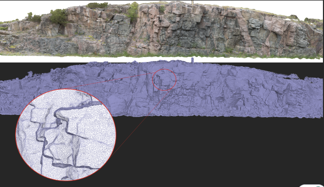
Creating Mappable Surfaces
Capture geological observations quickly, safely, and accurately, both in the field and office with HiveMap...

Organizing files as data sets
In Geoscience INTEGRATOR, a data set is often composed of a group of files of various formats along with metadata. These can be grouped...

Viewing data from report items
In Geoscience INTEGRATOR table and chart items from ad-hoc or scheduled reports can be easily refreshed, using the same filters that were applied in the original report, to display current data.

Import geoh5 into GOCAD Mining Suite
Seamlessly go between GOCAD Mining Suite and Geoscience ANALYST...

Monitoring folders
Geoscience INTEGRATOR's monitoring folders can be used to automatically import files to a project to save time and streamline regular updates.

Finding data sets by tags and neighbourhoods
In Geoscience INTEGRATOR, you can can lookup data sets by the tags they carry and the neighbourhoods they cover...

3D drillhole design and monitoring in Geoscience ANALYST Pro v4.0 – Virtual Lecture
Jennifer shows the new and updated drillhole design and monitoring tools in Geoscience ANALYST 4.0...

A YouTube Channel about 3D modelling
We have quite a few how-to and tutorial videos lined up on YouTube highlighting our earth modelling, interpretation, and data management software for the construction of plausible geological models.
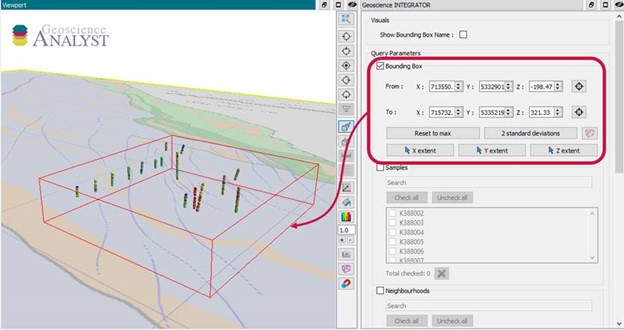
Automatic calculation of XYZ for drillhole sample location
In Geoscience INTEGRATOR, drillhole sample locations are automatically computed as XYZ by the system from the deviation surveys...

Q&A with Oleg Brovko, Senior Project Geophysicist at Geofocus
Join us in this exciting conversation with Oleg Brovko on harnessing Geoscience ANALYST and open-source technology for advanced geophysical solutions

Block model volume
In Geoscience ANALYST you can visualize your block model data by volume in the Visual Parameters panel...
..
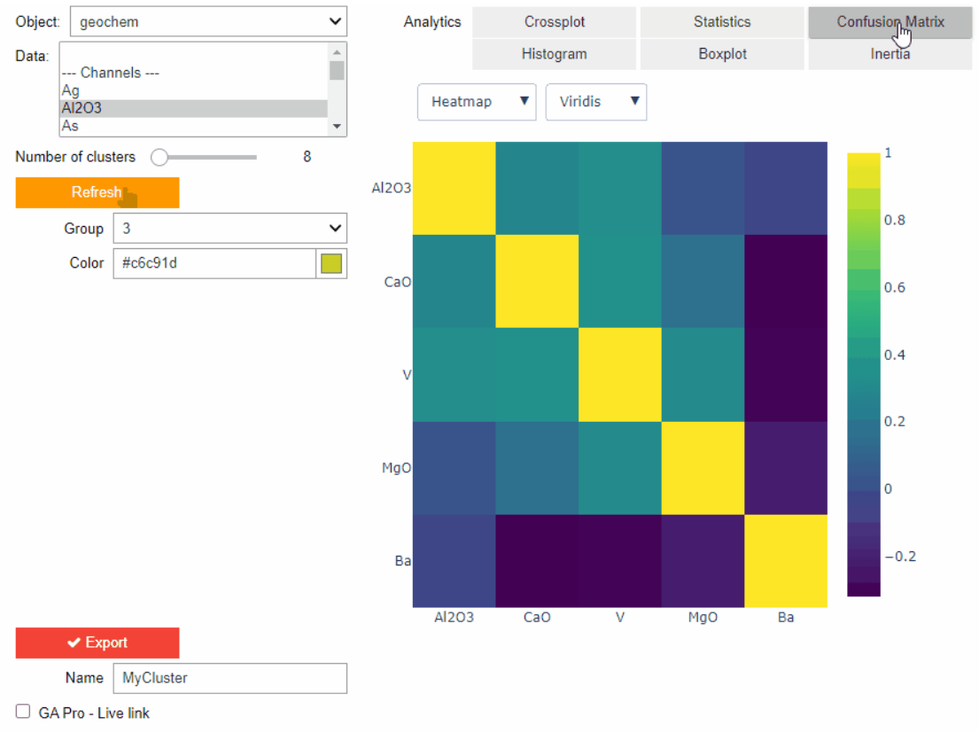
Clustering data stored on geoh5 objects
Past event. View here or on our YouTube channel...