



The newest version of Geoscience ANALYST is now available for download!
Upgrade to Geoscience ANALYST 4.6 today to unlock more value from your geoscience data
Geoscience ANALYST 4.6 introduces a wide range of feature enhancements and quality-of-life improvements designed to expand the software’s capabilities and streamline everyday workflows.
This release focuses on boosting usability and delivering a more refined experience for commonly performed tasks—continuing our commitment to empowering geoscientists with efficient, intuitive tools.

Discover the key highlights of the new functionality available in each product option:
- Geoscience ANALYST 3D viewer has extended functionality with existing importers, as well as updating the Decay Curves panel.
- Geoscience ANALYST Pro has expanded export options, the ability to select data while scripting, the creation of ternary colour data, and the creation of property statistics data.
- Geoscience ANALYST Pro Geophysics has updates to SimPEG inversion functionality and improvements in performance, as well as a new ternary colour data visualization from vector data or individual properties.
- Geoscience ANALYST Pro Geology has usability improvements for section interpretation, as well as new neural kriging, DBSCAN, and centered log ratio tools.
Additionally, the recently release Geoscience INTEGRATOR 4.1 (Geoscience ANALYST’s cloud-based data management system) has a new user interface for the Data set explorer, providing a simplified Samples theme, and including additional enhancements for better performance and usability.
Is this your first time working with Geoscience ANALYST?
Be sure to explore the User Guide included in the ‘Help’ menu, visit our YouTube channel, or check out the Resources tab on our website for additional tips and tutorials. You can also sign up for our email newsletter or join our community on LinkedIn to stay abreast of the latest news.
And remember that now you can access technical support directly from the Help menu in Geoscience ANALYST!
Please contact our team for additional information about our products and services
Latest news


GEOH5: A Framework for Geoscience Data and Model Portability

Q&A with Oleg Brovko, Senior Project Geophysicist at Geofocus

John McGaughey receives the Grahame Sands Award

Finding data sets by tags and neighbourhoods

New raster imports
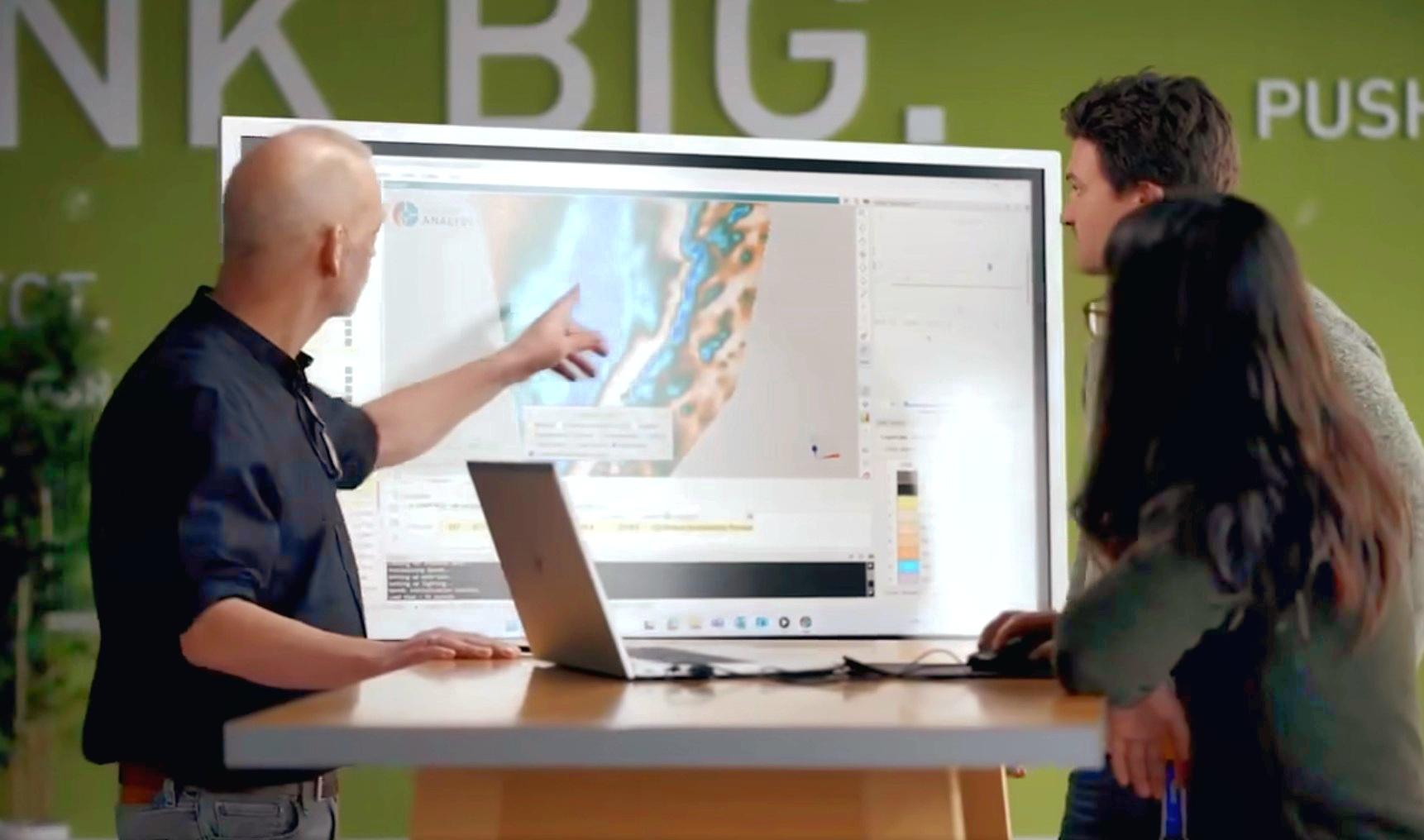
Revolutionizing Subsurface Interpretation and 3D Visualization with Geoscience ANALYST Pro
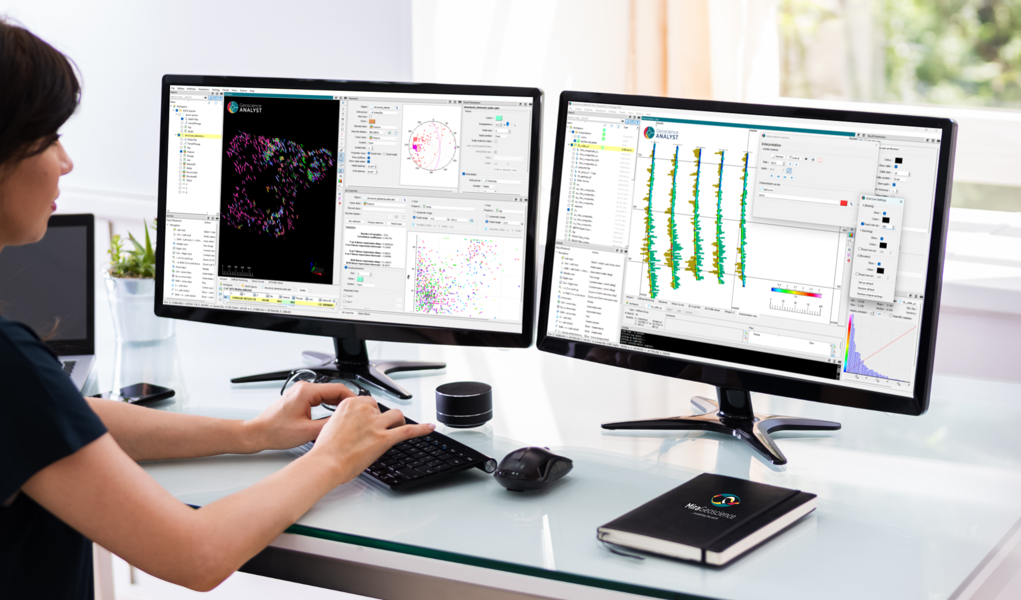
New release – Geoscience ANALYST 4.8

Documents linked to a project

Monitoring folders

Create regions – Crossplot 2D
