Coffee break… and learn!
Like this video? Go to our YouTube Channel for more!
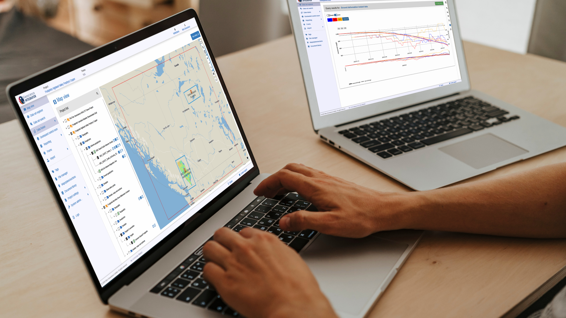
In this lecture, Carla Gonzalez showed new drillhole planning tools, upgrades in the 2D Profile Viewer, and creating surfaces from 3D inversions by allowing each model cell to know both its rock type and physical properties.
In 12 minutes she showed how to:
New drillhole planning tools
- 3D preview of targets to facilitate drillhole planning
- Classification of drillholes into planned, ongoing, and completed.
- Creation of drillhole grid patterns.
Upgrades in the 2D Profile Viewer
- Visualization of VP models in section view.
- Edit the model’s elevation range.
- Flip the survey’s line direction.
- Easily take a screenshot of the 2D Profile Viewer.
Create surface from VP model units
This episode, along with Free Viewer and data, is available on demand via our website and YouTube channel. More details about this series can be found on our Events page or join the mailing list.

Carla is our Trainer for SKUA-GOCAD and Geoscience ANALYST. In this role Carla will also be participating in testing, documentation, and support. She has previous experience with Apex Geoscience, Maple Gold Mines, and Pretium Resources where she was primarily involved with geological field work. She has a BSc in Earth and Planetary Sciences from McGill University. Carla is based in Montreal.
Latest events and news


Object’s Info

Meet Polyanna Rowe, PhD

Upload global descriptions

Customized list of file types to help filtering your files

25 years modelling the earth together
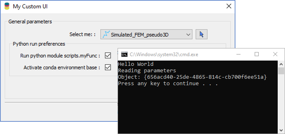
Using Python in Geoscience ANALYST Pro – Virtual Lecture

Using Python with Geoscience ANALYST

Customizing metadata

Search for Objects – find anything, anywhere, anytime

UBC-GIF or VP Suite inversion?