


Did you make a typo when naming multiple objects, properties, and regions?
Or maybe you changed your mind and would like to change their naming convention?
Through the Search for Objects ![]() menu, access the Find and Replace tool. It will find all occurrences in your objects, properties, or regions that match the search criteria. You can then choose which to replace, or replace all, by the text you specified.
menu, access the Find and Replace tool. It will find all occurrences in your objects, properties, or regions that match the search criteria. You can then choose which to replace, or replace all, by the text you specified.

Previous tips can be found under the Software tip category in the News section and in the Archives section of our website.
Latest news

Taskbar icons
In GOCAD Mining Suite, icons are added to the taskbar when you open windows such as another 3D Viewer or the 3D-GIS Query panel...

Finding data sets by tags and neighbourhoods
In Geoscience INTEGRATOR, you can can lookup data sets by the tags they carry and the neighbourhoods they cover...

Data fusion – Automatic sample compilation
In Geoscience INTEGRATOR, the Sample compilation page offers powerful tools to support the analysis of complex or difficult-to-view relationships within your sample data...

GEOH5: A Framework for Geoscience Data and Model Portability
Used by thousands, GEOH5 is the open-source data structure that is taking down the interoperability barriers and revolutionizing...

Property value range
In Geoscience INTEGRATOR, You can refer to the range of values in the query panel to apply numeric property filters...


New release – GOCAD® Mining Suite V14.5
GMS V14.5 expands the Python API, enhances connectivity with Geoscience ANALYST, and improves interoperability through the open GEOH5 format.

Generating exploration models from a detailed structural interpretation and Artificial Intelligence
This approach uses the comment field of the logging table to extract general topics that can then be used as learning features in a supervised machine learning classification approach.

K-means clustering: compute inertia curve
In Geoscience ANALYST Pro the K-means clustering utility includes the ability to compute the data’s inertia curve...
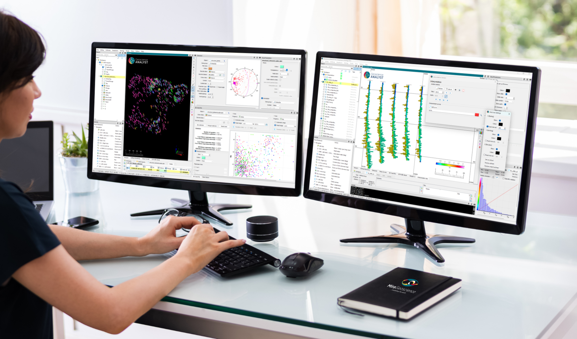
New release – Geoscience ANALYST 4.8
Geoscience ANALYST 4.8 delivers exciting new enhancements across all product options. Upgrade today!

HiveMap Digital Mapping Software
Safety is always the number one priority on every job and work site. Whether in underground, open pit, or civil engineering settings, our most important job is to make sure…

Customize the Viewport axis labels
In Geoscience ANALYST you can customize the Viewport axis labels
..