


Having a hard time finding anything in your long list of objects? The Search for Objects ![]() tool can really help you out!
tool can really help you out!
It allows to search by:
- Name
- Object type
- Property
- Region
- Date last modified
It even allows wildcards and regular expression matching, find and replace, display of objects from the search results, and export lists of your searches.
In addition, when you select an object, any relevant object information, such as the number of nodes or XYZ bounding box, is reported.

Previous tips can be found under the Software tip category in the News section and in the Archives section of our website.
Latest news

VPmg, VPem1D and VPutility release
VP Geophysics Suite releases: VPmg version 9.3, VPem1D version 4.3 and VPutility version 1.2...

Creating 3D geological starting model from geological maps and structural measurements
In this lecture, Philippe generates a 3D geological model from a map with structural measurements in Geoscience ANALYST...

Filtering samples by their drillhole
In Geoscience INTEGRATOR, you can can filter them according to the drillhole they are located in...

Depth-to-basement inversion using geometry and homogeneous VPmg inversion
Past event - View here or on our YouTube channel...

Adding reference images
You can add reference images to mine fusion models and hazard reports in Geoscience INTEGRATOR to better orient yourself visually.

Transfer data between objects
In Geoscience ANALYST Pro you can Transfer data between objects...

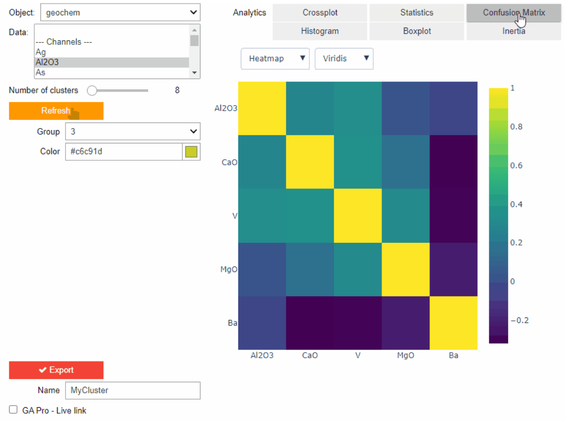
New clustering application in geoapps
geoapps - Exploratory Data Analysis (EDA), rock classification generation, or map alteration footprints

Data set summaries
In Geoscience INTEGRATOR The Data set explorer provides simple, immediate ‘dashboard’ access to all the data sets, and their summary information...

View neighbourhoods in 3D
You can display your neighbourhoods in Geoscience INTEGRATOR 3D viewer, making it easier to understand spatial distribution of the data.
Clustering data stored on geoh5 objects
Past event. View here or on our YouTube channel...

Behind the Scenes: A Technical Deep Dive – Chasing Innovation From the Ground Up
Explore behind the scenes our case study with Canadian Royalties on this technical deep dive, featuring Stanislawa Hickley.

Attending PDAC 2026?
Visit us at booth 814 to see our software solutions in action and discuss your needs with our expert team!