


In version 3.1, VP Model objects can now be imported by a simple drag and drop! You can then visualize the model and, when available, data such as background data, calculated response, and observed data.
Note: VP Model object cells are prisms that conform to geological boundaries.
Previous tips can be found under the Software tip category in our News page and in our Archives page. Join our Virtual Lecture series that showcases technological advancements and provides quick tutorials on Geoscience ANALYST features. More details about this series on our Events page or sign-up to the mailing list.
Latest news

Python applications for geoscientific problems
geoh5py and geoapps - Open format, open source code, and open licensed data! Cannot get any better than that!

Pointer Tracking
In GOCAD Mining Suite you can take advantage of the Pointer Tracking view to track coordinates, objects, and properties.
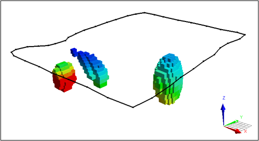
VPem3D in Geoscience ANALYST Pro Geophysics
Accelerating 3D TEM Interpretation with and without Geological Constraints. Read more >>

Improved data analysis
Analyze your data with enhanced histogram display options available in GOCAD Mining Suite v19...

Themes
Geoscience INTEGRATOR v3.5 and Geoscience ANALYST v3.2 include new themes and renamed ones to help you to locate data in a more intuitive way.

Arbitrary sections
In Geoscience ANALYST visualize your block model in any direction with the new arbitrary section

Transfer data between objects
In Geoscience ANALYST Pro you can Transfer data between objects...

Québec Mining 2024
Explore the full interview that Scott Napier did for Québec Mining 2024

Revolutionizing Subsurface Interpretation and 3D Visualization with Geoscience ANALYST Pro
Discover how EnBW is bridging the gap between 2D mapping, 3D seismic interpretation, and integrated geophysical workflows