



Version 3.7 offers the Effective date upload field for files and maps. This can be useful for measurements or interpretations linked to a past date such as data acquisition date. By default, the date is set to the day of upload, but can be changed to a past one. Effective dates can also be used as a search filter in the File manager and in the Maps/plans/sections pages.
Note: Data imported prior to version 3.7 will be set to match the upload date but this field can be edited any time.

Previous tips can be found under the Software tip category in the Resources section and in the Archives section of our website.
Latest news

Customize the Viewport axis labels
In Geoscience ANALYST you can customize the Viewport axis labels
..
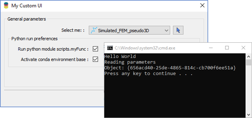
Using Python in Geoscience ANALYST Pro – Virtual Lecture
Past event, link available here...

HiveMap Digital Mapping Software
Safety is always the number one priority on every job and work site. Whether in underground, open pit, or civil engineering settings, our most important job is to make sure…

Reopening selected commands
In GOCAD Mining Suite the Log and Command Messages panel has a new tool to reopen previously executed commands...

Rapid and accurate mapping
We explain how automated generation of alteration maps using radiometric data is well-suited to large-footprint mineral systems...

What’s new in Geoscience ANALYST version 4.0 – Virtual Lecture
Watch as Carla shows the new and updated tools in Geoscience ANALYST 4.0...

Introducing HiveMap
Capture geological observations quickly, safely, and accurately, both in the field and office with HiveMap...

Chasing Innovation from the Ground Up
Advances in geoscience are built on ingenuity. Circé Malo-Lalande knows it too well. Discover more about Canadian Royalties' fascinating success story.

Copying objects between Workspaces
In Geoscience ANALYST objects can be copied from one Workspace to another by using Ctrl+C and Ctrl+V...

Manual classifications vs Project classifications
In Geoscience INTEGRATOR, There are two ways to create classifications when importing data...

Rock reclassification editor
In GOCAD Mining Suite, you can simplify logging codes for modelling projects and data management using the Rock reclassification editor...
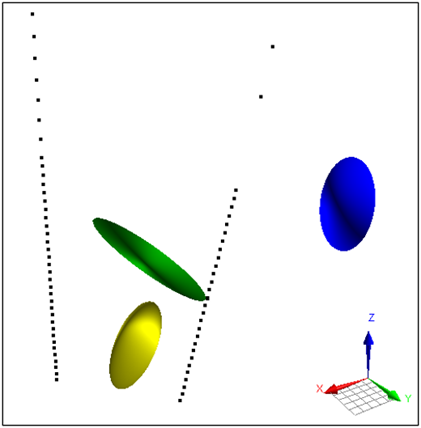
Parametric Ellipsoid Modelling in Geoscience ANALYST Pro Geophysics
A Fast New Way to Interpret TEM Anomalies. Read more >>