



Did you know that you can texturally drape your images and 2D gridded data onto surfaces? For example, drape your geology map on your topography surface:
- Right-click on your surface > Style Editor
- Go to the Texture category
- In the Draping section, select Visible
- Choose your Voxet and the Property you would like to visualize

Previous tips can be found under the Software tip category in the Resources section and in the Archives section of our website.
Latest news

The value of using structural restoration tools in exploration modelling – Virtual Lecture
Watch recording - Jean-Philippe shows the use of structural restoration tools in GMS as a modelling tool for structurally controlled deposits...

New filter options on the File manager and the Maps/plans/sections
In Geoscience INTEGRATOR, you can now find files quickly by using the new extension, tags and uploaded by filters...

Chasing Innovation from the Ground Up
Advances in geoscience are built on ingenuity. Circé Malo-Lalande knows it too well. Discover more about Canadian Royalties' fascinating success story.
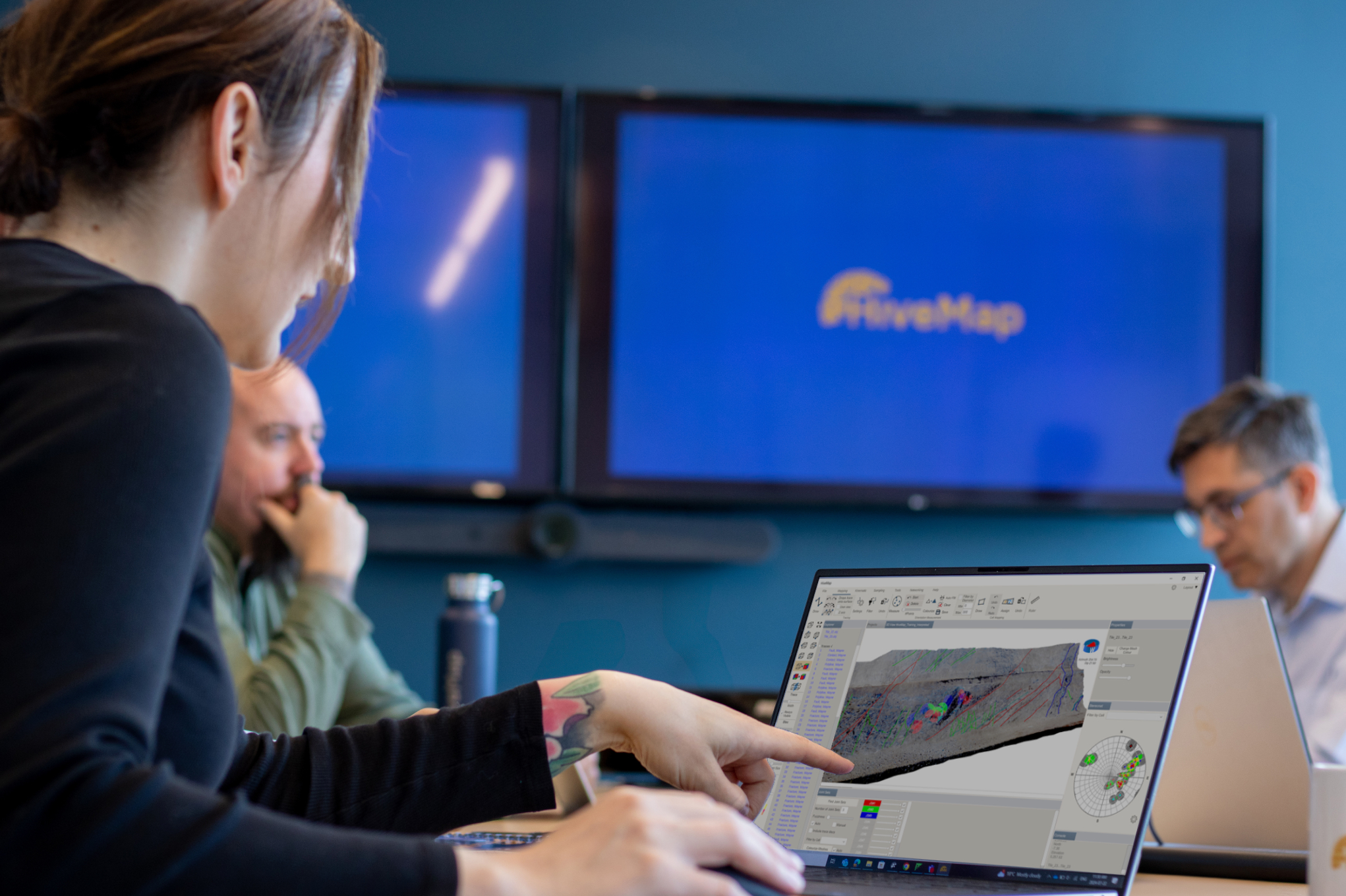
Introducing HiveMap
Capture geological observations quickly, safely, and accurately, both in the field and office with HiveMap...

Let the data speak!
Four years ago, along with DMT Group, we started working with JSC Apatit on their Kirovski and Rasvumchorr mines that...

Using Python with Geoscience ANALYST
A new Geoscience ANALYST Python API, providing the capability of connecting to open source software, is scheduled for release....

Customized list of file types to help filtering your files
In Geoscience INTEGRATOR, on top of using Tags and Data set linking, you can give them a File type from a customizable list...

Quick selection search tool
In Geoscience INTEGRATOR we added a search box to help you find objects lists such as drillholes, samples, or stations that often have thousands of items...
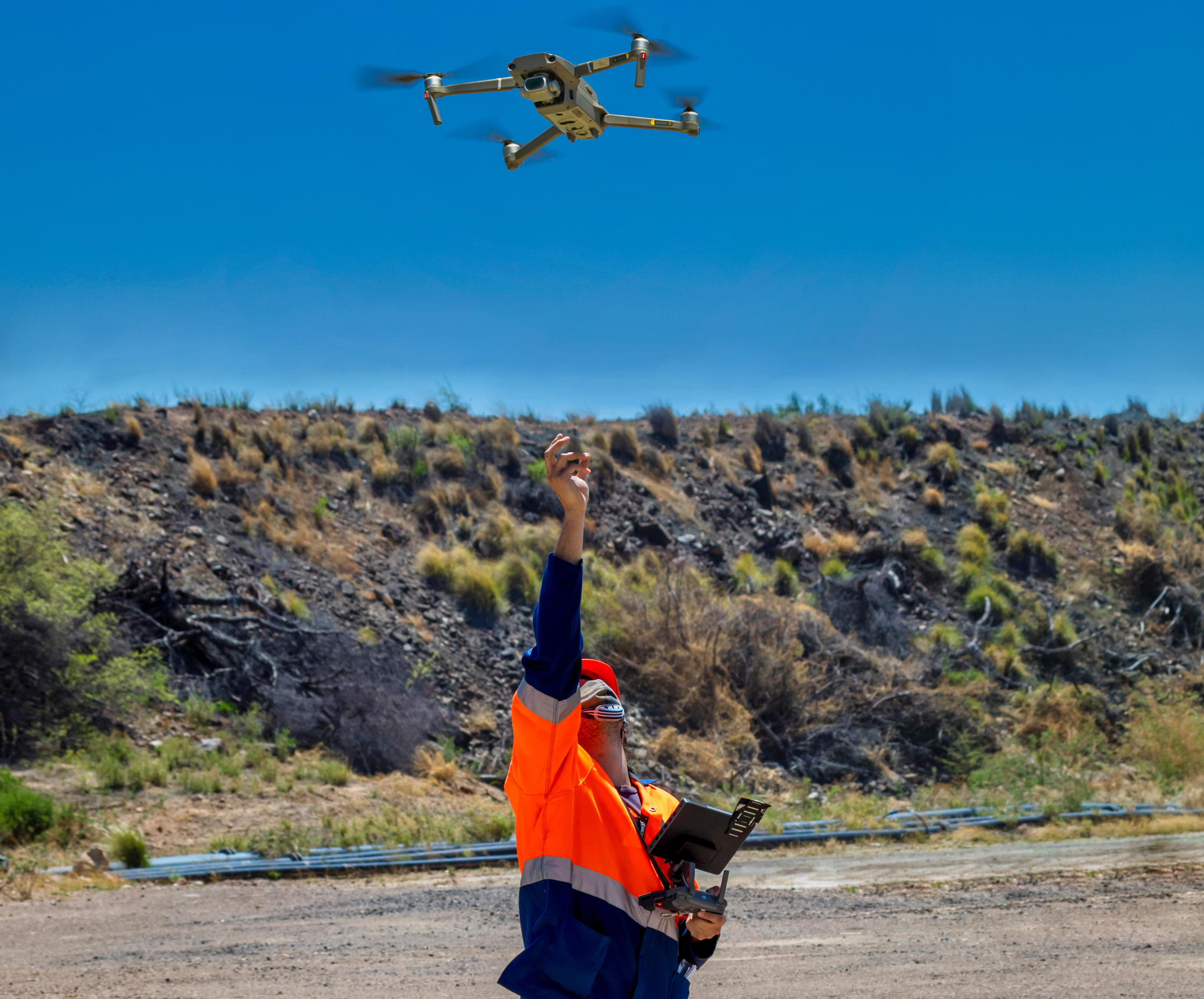
Creating Digital Models of Rock Exposure for Geological and Geotechnical Mapping
Capture geological observations quickly, safely, and accurately, both in the field and office with HiveMap...

Peak finder – Geoscience ANALYST geoapps: Python application
Past event. Link to recording available here.

Inverting time domain data in Geoscience ANALYST version 4.0 – Virtual Lecture
Kristofer inverts TEM data in 1D through Geoscience ANALYST Pro Geophysics to recover conductivity in Geoscience ANALYST 4.0...

Show and hide
In Geoscience ANALYST you can show and hide everything, individual objects, container groups or drillhole groups...