


Virtual Lecture series – Coffee break… and learn!
Like this video? Go to our YouTube Channel for more!
In this video Carla Gonzalez shows how to maximize displaying drillhole data in Geoscience ANALYST free Viewer. She demonstrates different ways to display geological logs, geochemical assays, and downhole geophysics data in drillholes.
In 10 minutes she shows how to:
- Import drillhole data into Geoscience ANALYST
- View a drillhole’s survey data
- Paint drillholes by assays and geology logs
- Scale logs by data
- Display profiles for assays and geophysical logs along the drillholes
- Visualize drillhole strike and dip measurements as oriented 3D tablets

Carla is our Trainer for SKUA-GOCAD and Geoscience ANALYST. In this role Carla participates in testing, documentation, and support. She has previous experience with Apex Geoscience, Maple Gold Mines, and Pretium Resources where she was primarily involved with geological field work. She has a BSc in Earth and Planetary Sciences from McGill University. Carla is based in Montreal.
Latest events and news

John McGaughey receives the Grahame Sands Award
John McGaughey, President of Mira Geoscience, receives ASEG's 2024 Grahame Sands Award for a career dedicated to innovation in applied geophysics.
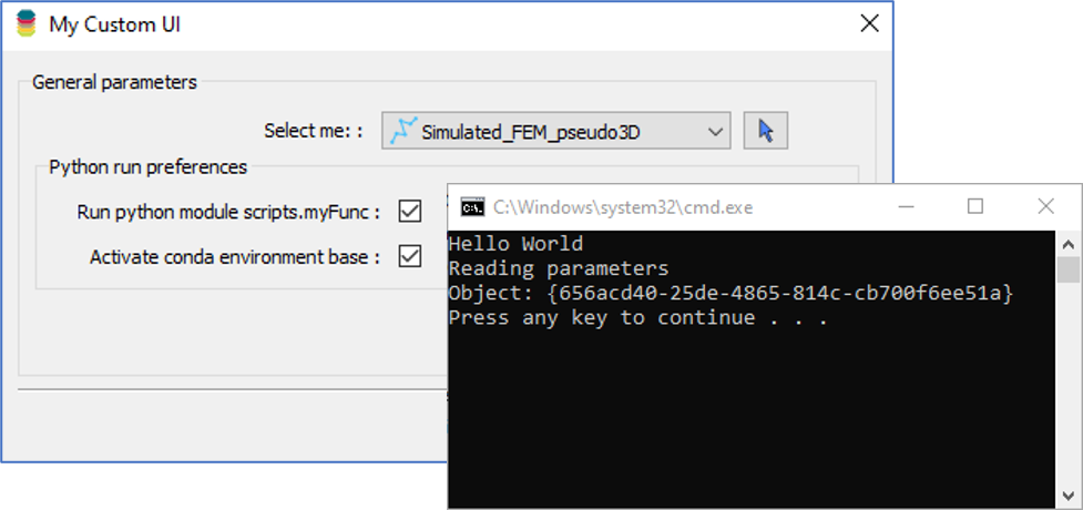
Using Python in Geoscience ANALYST Pro – Virtual Lecture
Past event, link available here...

UBC-GIF or VP Suite inversion?
"The programs are complementary, and the combination gives one the ultimate flexibility in potential-field inversion,” says Kristofer Davis, Scientific Programmer at Mira Geoscience.

Data set search tools
In Geoscience INTEGRATOR, you can search by data set name or description through the Data set search...

Plotting drillhole data
While pencil crayons are still a vital part of geology, Geoscience ANALYST lets you get all your data into 3D in a convenient shareable format...

Transfer data between objects
In Geoscience ANALYST Pro you can Transfer data between objects...

Importing and preparing DC/IP data for inversion with Geoscience ANALYST – Virtual Lecture
In 20 mins, Kristofer shows v3.4 new functionality for pre-processing and visualization of DC/IP 2D and 3D data - Geoscience ANALYST...

Q&A with VR Resources
Join us in this exciting conversation with Michael Gunning on how to find success in blue-sky exploration through integrated interpretation of magnetic data and structural geology

Rock reclassification editor
In GOCAD Mining Suite, you can simplify logging codes for modelling projects and data management using the Rock reclassification editor...

VPmg, VPem1D and VPutility release
VP Geophysics Suite releases: VPmg version 9.3, VPem1D version 4.3 and VPutility version 1.2...

Operations on multiple files
In Geoscience INTEGRATOR, you can carry out various operations on multiple files simultaneously...

HiveMap Digital Mapping Software
Safety is always the number one priority on every job and work site. Whether in underground, open pit, or civil engineering settings, our most important job is to make sure…