



Last month’s Virtual Lecture showed how to maximize displaying drillhole data in Geoscience ANALYST free Viewer. While pencil crayons are still a vital part of geology, Geoscience ANALYST lets you get all your data into 3D in a convenient shareable format.

Previous tips can be found under the Software tip category in our News page and in our Archives page. Join our Virtual Lecture series that showcases technological advancements and provides quick tutorials on Geoscience ANALYST features. More details about this series on our Events page or sign-up to the mailing list.
Latest news

Create regions – Crossplot 2D
In GOCAD Mining Suite you can filter data dynamically before creating regions and save the filters as templates for later use...

Upload global descriptions
In Geoscience INTEGRATOR, add an editable global description during import to save time and reduce errors...

Searching in the objects tree
Having trouble finding one object out of hundreds in Geoscience ANALYST? Try searching your Objects panel (Ctrl+F)...

New release – Geoscience ANALYST 4.7
Geoscience ANALYST 4.7 delivers a significant set of new tools and performance enhancements. Download it now!

Customizing metadata
Version 3.0 of Geoscience INTEGRATOR has a new layout for data set summaries that allows you to document any general information as custom...
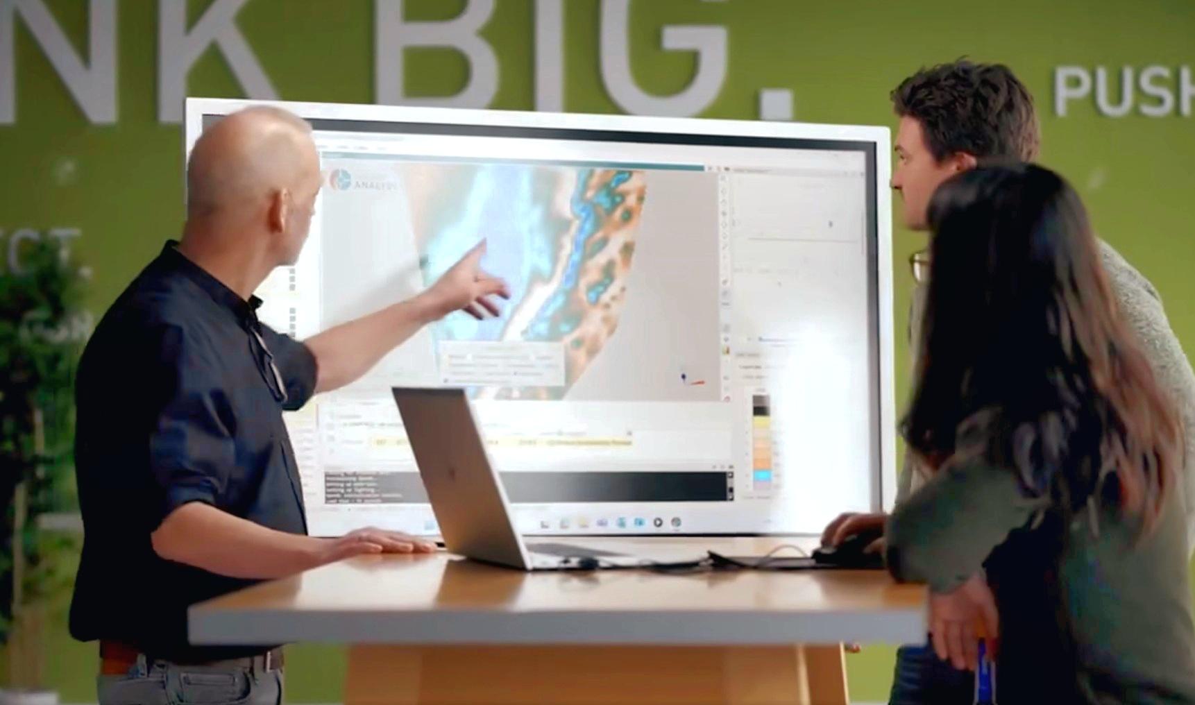
Revolutionizing Subsurface Interpretation and 3D Visualization with Geoscience ANALYST Pro
Discover how EnBW is bridging the gap between 2D mapping, 3D seismic interpretation, and integrated geophysical workflows

Editing property settings: Display template
In GOCAD Mining Suite you can editing property settings through display templates...

GOCAD Mining Suite – A geological modelling powerhouse
Past event, recording link available here...

Object’s history
In GOCAD Mining Suite, objects keep a history of all the commands you apply to them, this includes...