CMIC Footprint (exploration) and SUMIT (mining)
In the modern exploration context, deep-search and under-cover projects require the integration of 3D structural modelling, constrained geophysical inversion, and expert-system targeting to deliver optimum drillhole targets. Success depends not only on the type and quality of the data but also on how well they are integrated and jointly interpreted.

On the left side "From 3D data integration with constrained inversion". Centre "To structural model. Right side "To 3D potential models and ranked exploration targets".
We are actively taking part in a Canadian Mining Innovation Council (CMIC) research project on discovering new combinations of measurable parameters that define the footprints of ore systems. This project is the largest-ever Canadian mineral exploration R&D project, supported by a collaboration of 24 universities and 27 industry sponsors.
The proposed research aims to improve “exploration success by developing practical applications and approaches to the acquisition, management, integration, and analysis of data that can be used to identify the ore-system footprint at the most distant edge and at depth.” – CMIC-EIC Program Summary
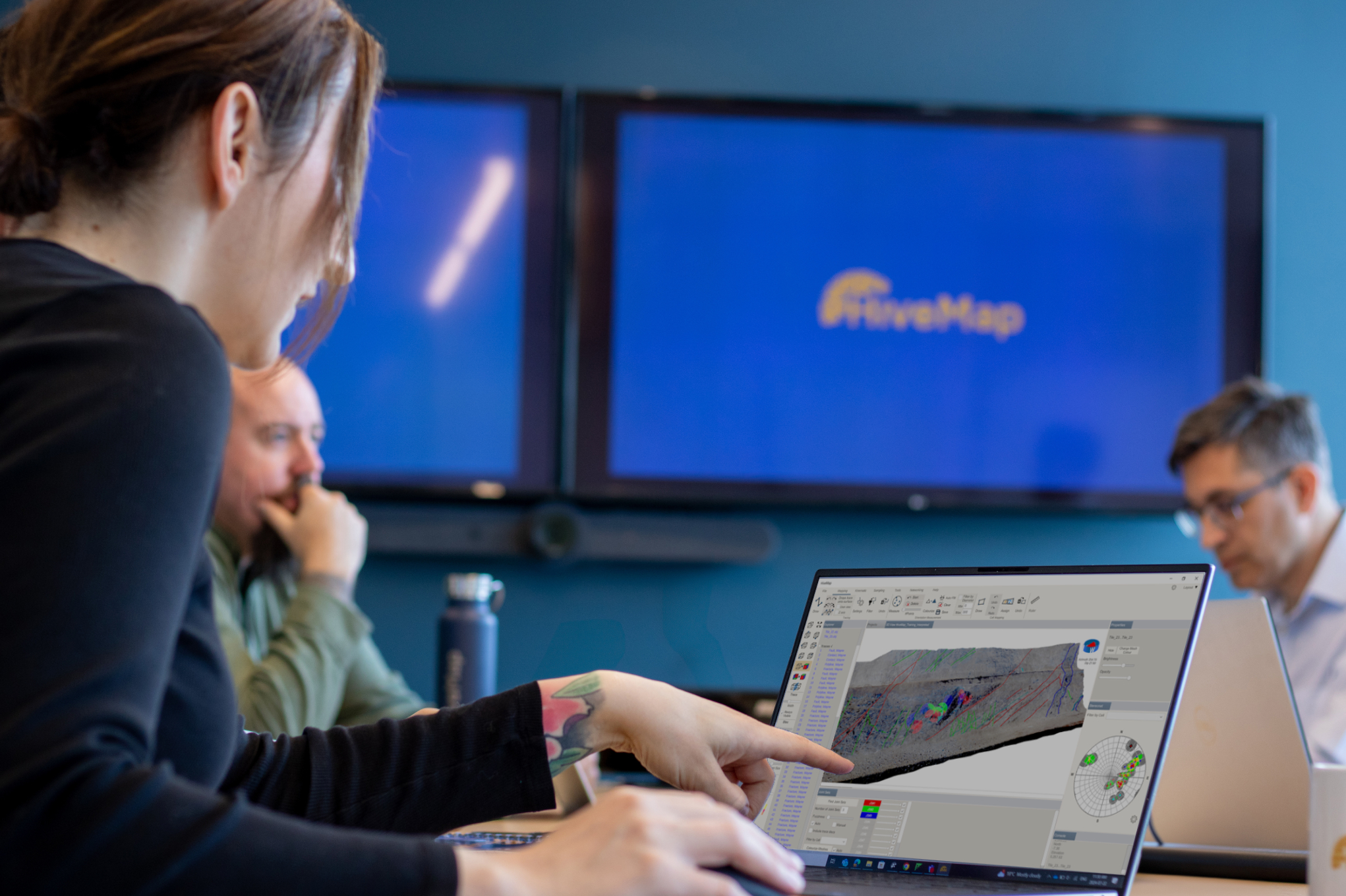
We are co-leaders of the project’s data integration activities, providing both advisory services and modelling software.
At the mine site, integration of 3D geological and rock mass models with 4D mine geometry, stress, microseismicity, and other monitoring data yields the capability of evaluating geotechnical hazard. Sharing consistent, real-time data on equipment performance, rock stability, and various mine monitoring systems ultimately means mining more safely, efficiently, effectively, and with greater economic feasibility.

We have recently been working closely with the Centre for Excellence in Mining Innovation (CEMI) on the Smart Underground Monitoring and Integrated Technologies (SUMIT) program and the Tunnel Boring System (TBS) projects of the Rio Tinto Centre for Underground Mine Construction (RTC-UMC).
The data management side of this program aims to facilitate deep mining research and development by refining the process of data collecting, storing and sharing through a centralized system.
Our contribution to this project will be to create the necessary technology needed to manage multi-disciplinary time-based data and mine models. This data management foundation will be integrated with our quantitative, 4D geohazard evaluation system to support analysis and geotechnical decision-making.
If you are interested in reading more about our data integration work, we invite you to read CIM Magazine’s article on the Rio Tinto data management system for its world-wide block cave mine operations.

John McGaughey – President
John is the founder and President of Mira Geoscience. He has extensive mining industry experience focusing on quantitative, multi-disciplinary 3D and 4D interpretation for mineral exploration and geotechnical decision support. He currently leads our technology strategy and our geotechnical business. Prior to founding Mira Geoscience in 1999, he spent 10 years at the Noranda Technology Centre as a Senior Scientist in their rock mechanics group. He obtained an MSc in geological engineering and a PhD in geophysics from Queen’s University. John is based in Montreal.
Latest news

Machine learning in mineral exploration

VPmg, VPem1D and VPutility release

Object’s Info

Viewing data from report items

Dynamically turn on/off classes in scatter plots

Tagging query results

Uploading multiple files

EM101: Tips and tricks for EM data in Geoscience ANALYST

Q&A: Revival Gold Inc.

Have you Scene this?