



The normal of a surface is an example of a 3D vectorial property, where the components of the vector are defined by x, y, and z.
To visualize an object’s 3D vectorial property:
- Open the object’s Style Editor > 3D Property.
- Select Visible and choose the 3D property as a variable.
- Optionally, Arrow style and Rescale can be helpful for visualizing 3D properties.
3D properties can be created manually through scripts or via commands like Compute Distance to Object or Compute Distance to Nearest Neighbour.

Previous tips can be found under the Software tip category in the Resources section and in the Archives section of our website.
Latest news

Dynamically turn on/off classes in scatter plots
In Geoscience INTEGRATOR, you can turn on/off classes in scatter plots...

Geological 3D-GIS query
In GOCAD Mining Suite, you can create points at specific geological contacts for the construction of your geological contact surface...
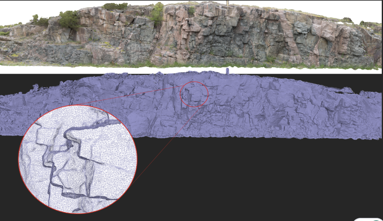
Creating Mappable Surfaces
Capture geological observations quickly, safely, and accurately, both in the field and office with HiveMap...

New Visual Parameter – Contours
In Geoscience ANALYST you can visualize contours on 2D grids. Select your data, specify the contour parameters, or change the colour.
..

Importing and visualizing VP Geophysics models
In Geoscience ANALYST v3.1, VP Model objects can now be imported by a simple drag and drop! You can then visualize the model and,...

Search for data by spatial extent
This video shows you how to search for data from Geoscience INTEGRATOR by spatial extent...

Editing property settings: Display template
In GOCAD Mining Suite you can editing property settings through display templates...

Object’s history
In GOCAD Mining Suite, objects keep a history of all the commands you apply to them, this includes...

Roles and permissions
In Geoscience INTEGRATOR, system administrators give users different levels of permission by role-based access...

Rapid and accurate mapping
We explain how automated generation of alteration maps using radiometric data is well-suited to large-footprint mineral systems...
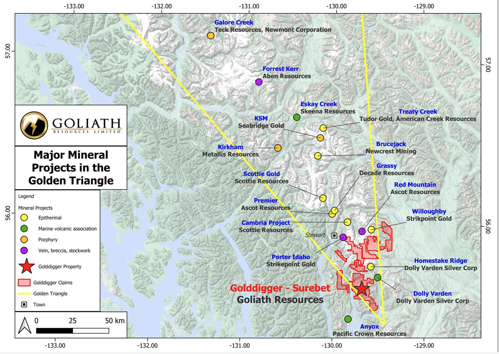
Remote Structural Mapping: A case study from the Golddigger property, BC
Capture geological observations quickly, safely, and accurately, both in the field and office with HiveMap...

Easily display a property on multiple objects
In GOCAD Mining Suite objects are grouped by the properties they contain...