
Coffee break… and learn!
More videos available on our YouTube channel

James Reid shows importing and plotting EM data, primary field calculations (Electromagnetic Field Modelling), and the use of Maxwell link in Pro. His demonstration includes new EM inversion features included in our latest release of Geoscience ANALYST Pro Geophysics.

James is a Principal Consultant with an extensive geophysical consulting background. He has extensive expertise in the planning and quantitative interpretation of electromagnetic and electrical methods, particularly the application of airborne electromagnetics to mineral and groundwater exploration. He has an MSc in geophysics from the University of Sydney and a PhD in geophysics from Macquarie University. James is based in Perth.

Latest events and news

Conferences
September, 16 2026

Attending AEGC 2025?

Visit us at booth #44 to see our software solutions in action and discuss your needs with our expert team!
Read more
November, 10 2021

New filter options on the File manager and the Maps/plans/sections
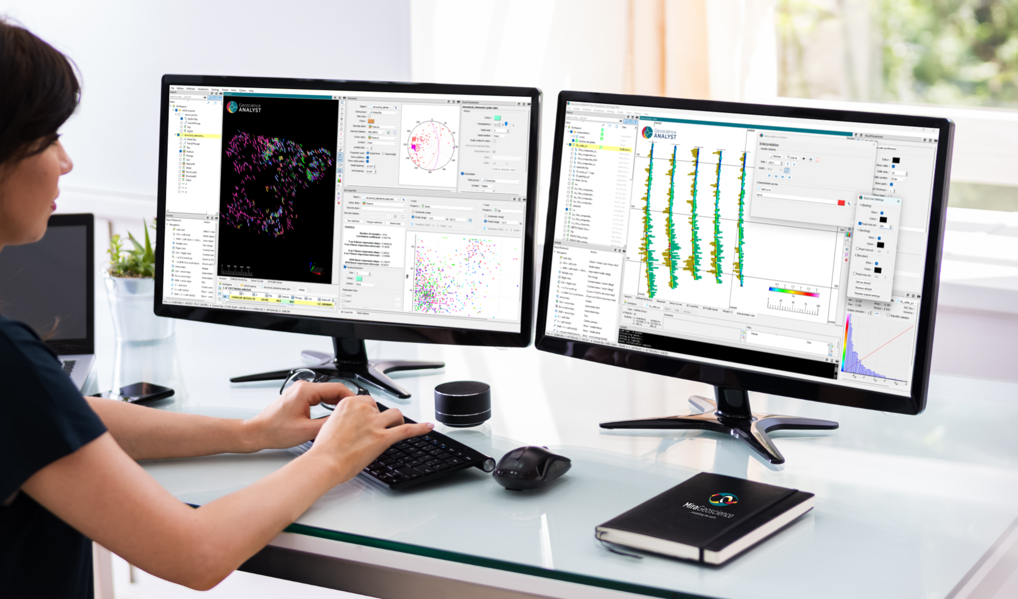
In Geoscience INTEGRATOR, you can now find files quickly by using the new extension, tags and uploaded by filters...
Read more
Software releases
July, 06 2026

New release – Geoscience ANALYST 4.8

Geoscience ANALYST 4.8 delivers exciting new enhancements across all product options. Upgrade today!
Read more
December, 07 2020

Automatic rotation

In Geoscience ANALYST you can autorotate viewport when presenting your 3D geoscientific data and models...
Read more
January, 20 2020

Adding reference images

You can add reference images to mine fusion models and hazard reports in Geoscience INTEGRATOR to better orient yourself visually.
Read more
May, 28 2020

Reshape using spiderwebs

GOCAD Mining Suite v19 allows you to reshape your surfaces and 2D Grids with a spiderweb editing tool...
Read more
Geoscience ANALYST
April, 22 2020

Constrained inversion using GRAV3D

Past event, view here or via our YouTube channel...
Read more
March, 02 2022

Filtering time-based data

In Geoscience INTEGRATOR, there are various ways to filter time-based data, by shirts, property, or even day intervals...
Read more
January, 11 2021

Upload global descriptions

In Geoscience INTEGRATOR, add an editable global description during import to save time and reduce errors...
Read more
Geoscience ANALYST
September, 23 2021

Including water bodies in gravity and magnetic inversion modelling – Geoscience ANALYST Pro Geophysics
Thomas Campagne demonstrated how to explicitly include bathymetry in inversion modelling of near-shore gravity data...
Read more
June, 03 2019

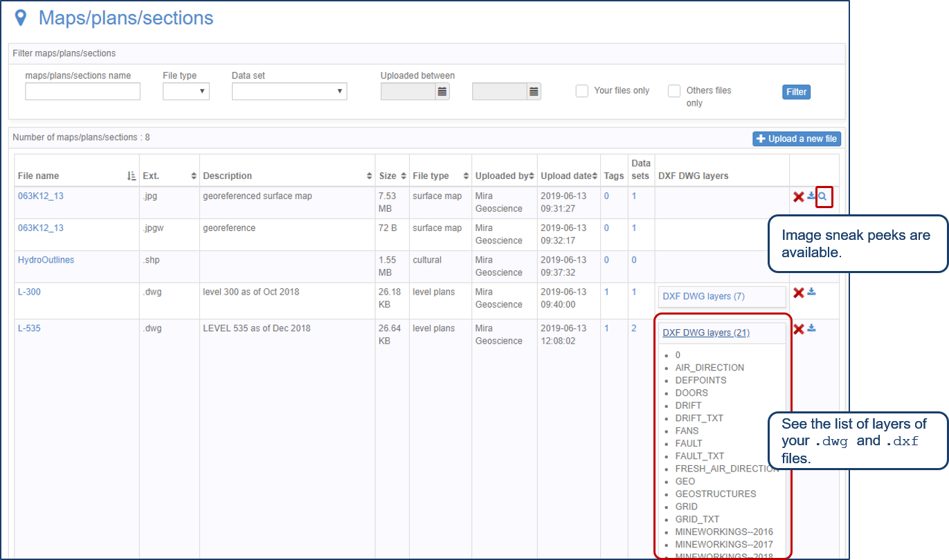
Preview files in the Maps/plans/sections page

See the list of layers of your .dwg and .dxf files. Image sneak peeks are also available...
Read more
November, 18 2019

Uploading multiple files

In Geoscience INTEGRATOR, you can upload multiple files in one simple step...
Read more

Please contact our team for additional information about our products and services