


The newest version of Geoscience ANALYST is now available for download!
Upgrade to Geoscience ANALYST 4.7 and transform your workflows
Geoscience ANALYST 4.7 delivers a significant set of new tools and performance enhancements that enable more advanced modelling while reducing the effort required for everyday tasks.
This release is centred on accelerating interpretation-to-modelling workflows, improving data-handling performance, and introducing new ways to visualize, classify, and process geoscience data—reinforcing our commitment to providing efficient, intuitive tools for the geoscience community.

Discover the key highlights of the new functionality available in each product option:
- Geoscience ANALYST 3D viewer now saves workspaces more efficiently by writing only modified objects, significantly reducing save times.
- Geoscience ANALYST Pro adds new tools for classifying numeric data and reclassifying reference datasets, expanding data preparation and analysis workflows.
- Geoscience ANALYST Pro Geophysics introduces multiple enhancements across EM processing, modelling, filtering, and uncertainty computation.
- Geoscience ANALYST Pro Geology introduces new surface creation and block modelling tools to transform geological interpretations to models.
Additionally, the recently released Geoscience INTEGRATOR 4.2 (Geoscience ANALYST’s cloud-based data management system) has a new user interface for the data set explorer, providing a simplified samples theme, and including additional enhancements for better performance and usability.
Is this your first time working with Geoscience ANALYST?
Be sure to have a look at the User Guide included in the ‘Help’ menu, visit our YouTube channel, or check out the Resources tab on our website for additional tips and tutorials. You can also sign up for our email newsletter to stay abreast of new features and developments or join our community on LinkedIn to stay current with the latest news.
And remember that now you can access technical support directly from the Help menu in Geoscience ANALYST!
Please contact our team for additional information about our products and services
Latest news


GEOH5: A Framework for Geoscience Data and Model Portability

Q&A with Oleg Brovko, Senior Project Geophysicist at Geofocus

John McGaughey receives the Grahame Sands Award

Sneak peek v19

Pointer Tracking

Scripting
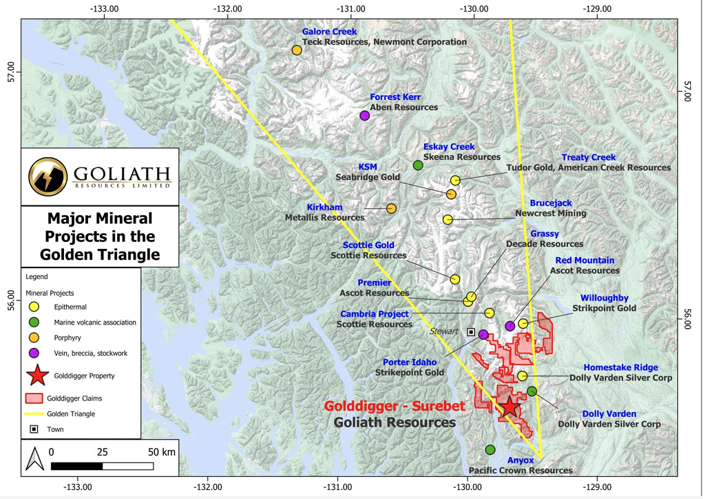
Remote Structural Mapping: A case study from the Golddigger property, BC

Plotting drillhole data

Importing and visualizing VP Geophysics models

Earth model’s themes are renamed
