


Version 3.2 has a new theme called Production area. It’s designed for stope, mining room, or drawpoint data.

Previous tips can be found under the Software tip category in the News section and in the Archives section of our website. Should you have any questions, do not hesitate to contact our support team.
Latest news

Cloning import templates
In Geoscience INTEGRATOR, cloning an import template provides a ready-to-edit copy without having to build a new one from scratch...

Custom discrete colour scales
Geoscience INTEGRATOR allows you to build and display custom colour scales when making a scatter plot or...

Sneak peek v19
Emerson-Paradigm released a short video to help users become acquainted with the redesigned interface. Watch this short video ...

New filter options on the File manager and the Maps/plans/sections
In Geoscience INTEGRATOR, you can now find files quickly by using the new extension, tags and uploaded by filters...

Dynamically turn on/off classes in scatter plots
In Geoscience INTEGRATOR, you can turn on/off classes in scatter plots...

How to run gravity inversions in a geologically driven way
Past event, view here or on our YouTube Channel to see how to run a 3D inversion and forward modelling in Geoscience ANALYST Pro using VPmg...

Québec Mining 2024
Explore the full interview that Scott Napier did for Québec Mining 2024

Coordinate display area
In Geoscience ANALYST you can get real-time feedback on the XYZ coordinates corresponding to the...
..
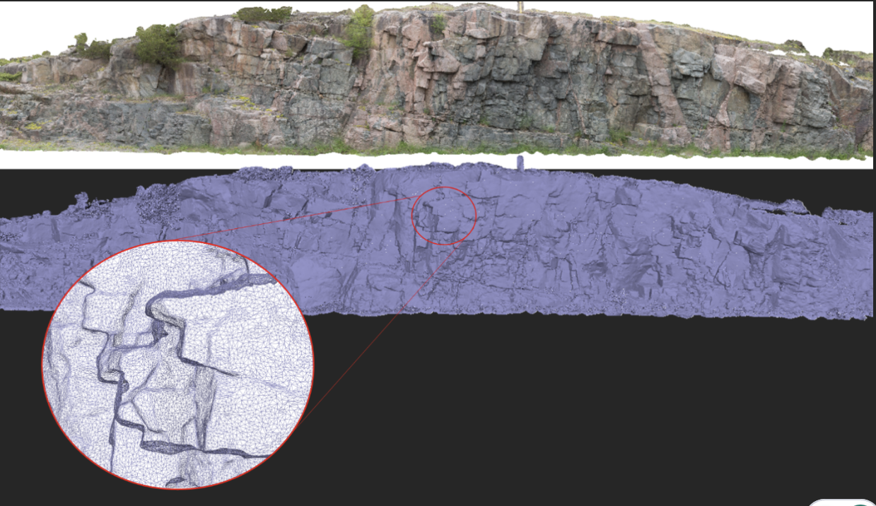
Creating Mappable Surfaces
Capture geological observations quickly, safely, and accurately, both in the field and office with HiveMap...

15 tips in 15 minutes – Geoscience ANALYST Free Viewer
Past event, view here or on our YouTube channel...

New clustering application in geoapps
geoapps - Exploratory Data Analysis (EDA), rock classification generation, or map alteration footprints

Using Python with Geoscience ANALYST
A new Geoscience ANALYST Python API, providing the capability of connecting to open source software, is scheduled for release....