



Have you ever accidentally closed a dialog box or wanted to edit and rerun a command without going through the menus again?
The Log and Command Messages panel  (formerly known as the Terminal) has a new tool to reopen previously executed commands
  in a dialog box with all the objects, properties, regions, and input parameters.

Tip: When the panel is closed, the icon changes when you have an error  , warning
  , or information message
  .
.
Previous tips can be found under the Software tip category in the News section and in the Archives section of our website.
Latest news

New release – Geoscience INTEGRATOR 3.9
This version includes new functionality to provide a better user experience, such as: user notifications, new display options, and more!

Arbitrary sections
In Geoscience ANALYST visualize your block model in any direction with the new arbitrary section

New Visual Parameter – Contours
In Geoscience ANALYST you can visualize contours on 2D grids. Select your data, specify the contour parameters, or change the colour.
..

A YouTube Channel about 3D modelling
We have quite a few how-to and tutorial videos lined up on YouTube highlighting our earth modelling, interpretation, and data management software for the construction of plausible geological models.

Data fusion – Automatic sample compilation
In Geoscience INTEGRATOR, the Sample compilation page offers powerful tools to support the analysis of complex or difficult-to-view relationships within your sample data...

Coordinate display area
In Geoscience ANALYST you can get real-time feedback on the XYZ coordinates corresponding to the...
..

Rock reclassification editor
In GOCAD Mining Suite, you can simplify logging codes for modelling projects and data management using the Rock reclassification editor...

Rapid and accurate mapping
We explain how automated generation of alteration maps using radiometric data is well-suited to large-footprint mineral systems...

No-data values on import templates
In Geoscience INTEGRATOR, you can prevent importing no-data value strings by providing a general NDV to be applied to all properties of the template...

Drillhole Statistics
In Geoscience ANALYST you can compute drillholes’ deviation statistics. These include...
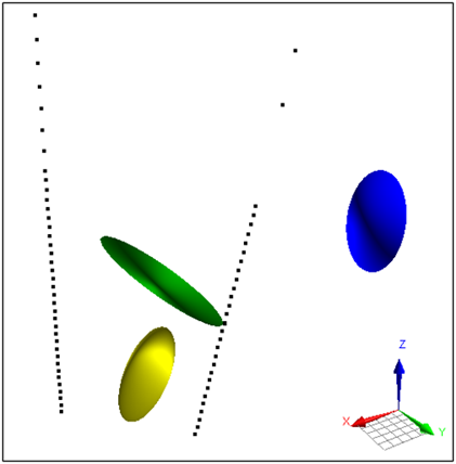
Parametric Ellipsoid Modelling in Geoscience ANALYST Pro Geophysics
A Fast New Way to Interpret TEM Anomalies. Read more >>

Quick selection search tool
In Geoscience INTEGRATOR we added a search box to help you find objects lists such as drillholes, samples, or stations that often have thousands of items...