


As a company, we are committed to interoperability, because the barriers to it imposed by proprietary software vendors serve neither the interests of technology advancement nor the customers who just need to get things done. That is why we believe GEOH5 is the future of data sharing in the minerals industry.
We developed GEOH5 based on free and open-source HDF5 technology because of its many advantages: wide acceptance across numerous data-intensive industries, self-describing behaviour through integration of data and metadata, fast I/O, excellent compression, file merging, cross-platform capability, unlimited data size, and access to libraries in a variety of programming languages. It provides both professionals and researchers with a robust means of handling large quantities of diverse data. We simultaneously developed an open-source Python API to facilitate reading and writing the format as well as a free, powerful GEOH5 reader called Geoscience ANALYST to display GEOH5 file data in tables, charts, documents, maps, cross-sections, and 3D visualizations.
The GEOH5 specification is a documented public, open, easy to use, vendor-neutral, and permanently accessible data exchange and storage format for the minerals industry. The content of GEOH5 files is readable and writeable by third-party software using scientific programming environments such as HDFview, Python, MATLAB, Fortran, C, and C++. We provide the ability to use these codes directly from the Geoscience ANALYST interface, with the technical support, documentation, and training that will make them usable by industry as standard tools.
We believe in the power of knowledge, data, and technology integration to address geoscience and mining challenges.
Latest news

Import geoh5 into GOCAD Mining Suite

New release – GOCAD® Mining Suite V14.5

Object’s history

Extending workflows with rapid model generation – Virtual Lecture

Customized list of file types to help filtering your files

Importing and preparing DC/IP data for inversion with Geoscience ANALYST – Virtual Lecture

Drillhole data interpretation – Geoscience ANALYST free viewer and Python
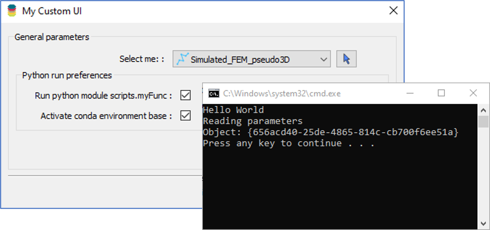
Using Python in Geoscience ANALYST Pro – Virtual Lecture

Automatic rotation

Q&A with Oleg Brovko, Senior Project Geophysicist at Geofocus

A robust workflow for regional porphyry targeting; Application to the QUEST-South project area in southern British Columbia
