


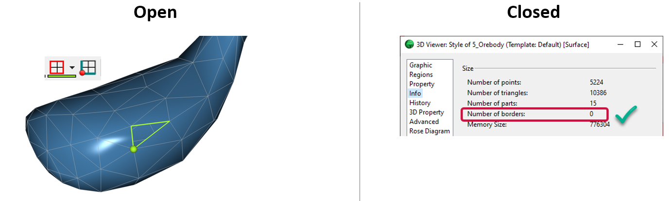
Wondering whether your closed surface is actually closed? Here are a few tips on how to find this key information:
- Verify the number of borders in the surface’s Style Editor > Info. A closed surface will have 0 borders.
- If borders and border extremities are present on the surface, the surface is open. To make these more obvious in the camera, change their color, increase their thickness and size, or create a curve from borders.
- If you are still not sure, try to use the surface in a 3D-GIS Shell query. If the surface is not closed, the query will not be completed, and an error will be reported.
Previous tips can be found under the Software tip category in the News section and in the Archives section of our website.
Latest news

Advanced drillhole planning and monitoring
We partnered with Groupe MISA to develop a low-cost 3D application where all elements of drillhole design and monitoring...

Linking cursors
In Geoscience ANALYST you can use the Link Cursors button to helps to track the location of your cursor across multiple Viewports...

Filtering time-based data
In Geoscience INTEGRATOR, there are various ways to filter time-based data, by shirts, property, or even day intervals...

Mira Geoscience receives the 2023 AME Innovation Award
John McGaughey, Mira Geoscience's President, has been selected for the 2023 AME Innovation Award for leading the development of GEOH5.

New Visual Parameter – Contours
In Geoscience ANALYST you can visualize contours on 2D grids. Select your data, specify the contour parameters, or change the colour.
..

Customize the Viewport axis labels
In Geoscience ANALYST you can customize the Viewport axis labels
..

Adding reference images
You can add reference images to mine fusion models and hazard reports in Geoscience INTEGRATOR to better orient yourself visually.

Mira Geoscience Partners with Tessael to Advance Geological Modelling in Geoscience ANALYST
Capture geological observations quickly, safely, and accurately, both in the field and office with HiveMap...

Python applications for geoscientific problems
geoh5py and geoapps - Open format, open source code, and open licensed data! Cannot get any better than that!

Project locks
In GOCAD Mining Suite, lock files manage the reading and writing of SKUA-GOCAD projects. They are automatically created...
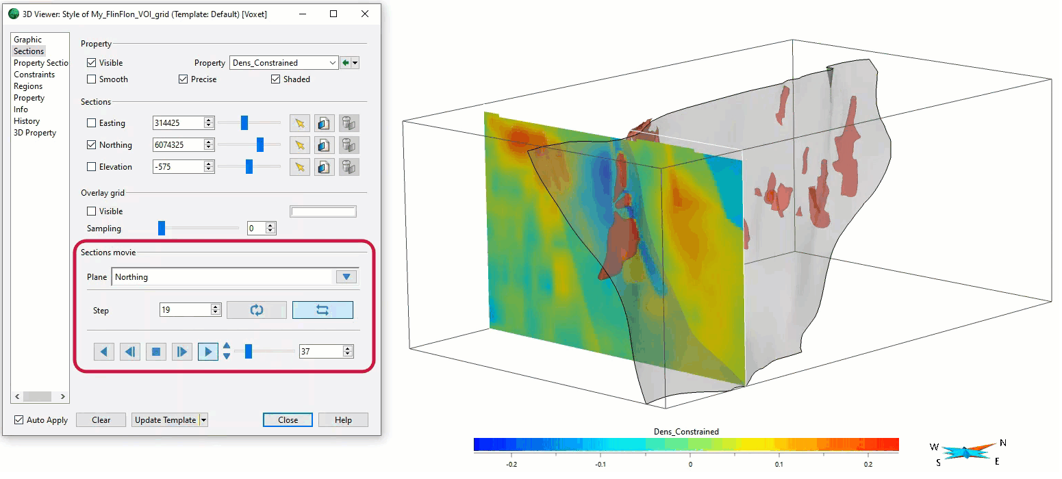
Sections movies
In GOCAD Mining Suite, you can create a section animation by specifying which section plane you want to visualize...
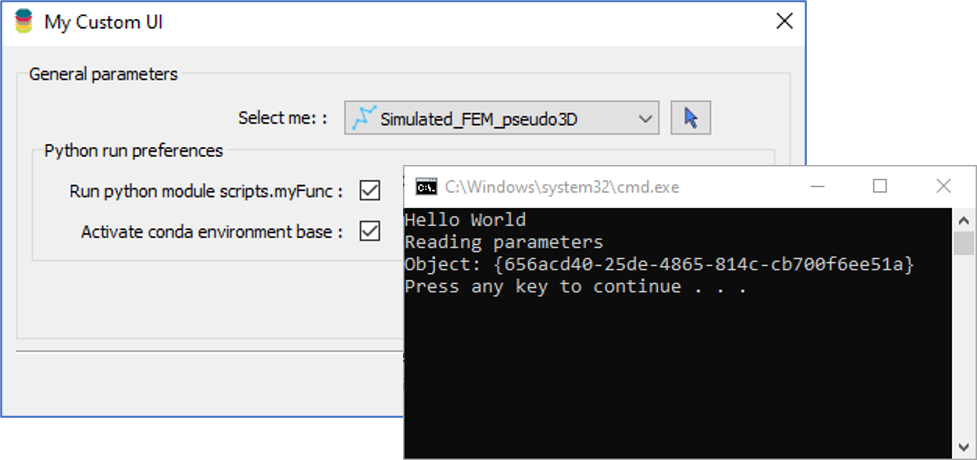
Using Python in Geoscience ANALYST Pro – Virtual Lecture
Past event, link available here...