



In the upcoming Geoscience INTEGRATOR v3.6, you can carry out various operations on multiple files simultaneously, such as edit, delete, download, and associate tags and data sets through the File manager and the Maps/plans/sections pages.

Previous tips can be found under the Software tip category in the News section and in the Archives section of our website.
Latest news

What’s new in Geoscience ANALYST version 4.0 – Virtual Lecture
Watch as Carla shows the new and updated tools in Geoscience ANALYST 4.0...

New release – Geoscience INTEGRATOR 4.2
Geoscience INTEGRATOR 4.2 unveils a range of new features and improvements designed to boost performance and enhance user experience.

BHP Bowen Basin, Australia
Surface electromagnetic and electrical methods were trialled at a mine in the Bowen Basin, Queensland, with the objective of mapping the extent of coked coal...

Python API live link
In Geoscience ANALYST you can enable a monitoring directory to instantly visualize and analyze the results...

Finding data sets by tags and neighbourhoods
In Geoscience INTEGRATOR, you can can lookup data sets by the tags they carry and the neighbourhoods they cover...

Drillhole Statistics
In Geoscience ANALYST you can compute drillholes’ deviation statistics. These include...

Uploading multiple files
In Geoscience INTEGRATOR, you can upload multiple files in one simple step...
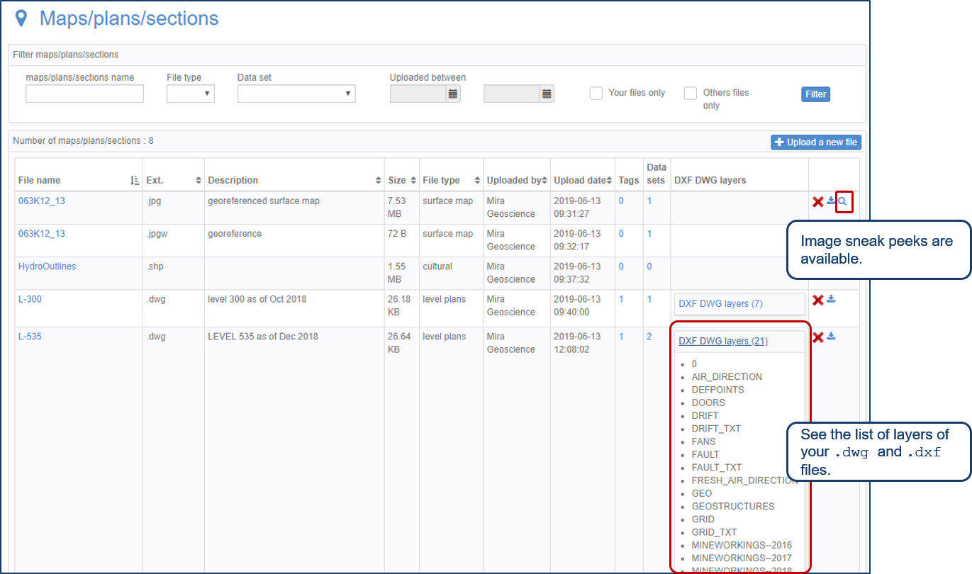
Preview files in the Maps/plans/sections page
See the list of layers of your .dwg and .dxf files. Image sneak peeks are also available...

Drillhole data interpretation – Geoscience ANALYST free viewer and Python
Past event, link to the recording is available here...

Filtering time-based data
In Geoscience INTEGRATOR, there are various ways to filter time-based data, by shirts, property, or even day intervals...

Import geoh5 into GOCAD Mining Suite
Seamlessly go between GOCAD Mining Suite and Geoscience ANALYST...

Monitoring folders
Geoscience INTEGRATOR's monitoring folders can be used to automatically import files to a project to save time and streamline regular updates.