
Virtual Lecture series – Coffee break… and learn!
Like this video? Go to our YouTube Channel for more!

In this video, Kristofer Davis shows how easy it is to run a geologically-constrained UBC-GIF inversion of potential-field data in Geoscience ANALYST Pro Geophysics.

In 15 minutes he shows how to:

  • Load magnetic data, topography, and a block model from a geologic modelling package (GOCAD Mining Suite, Datamine, Leapfrog, etc.)
  • Attribute with density values and forward model to test the initial geological model
  • Set up the sensitivity and run an unconstrained inversion
  • Run a constrained inversion using a reference model
  • Run a constrained inversion using weights from geologic boundaries

The series will be delivered via Webinars by our Scientific Programmers and will become available on demand after via our YouTube channel. More details about this series on our Events page or join the mailing list.

Kristofer is a Scientific Programmer who completed his PhD in Geophysics at the Colorado School of Mines. At UBC he worked on several advanced problems in geophysical inversion, focusing on development of software workflows to support constrained geophysical inversion. His industry and academic background provide the ideal experience to continue development of our VP Suite products, GIFtools, and our other geophysical tools and workflows. Kristofer is based in Vancouver.

Latest events and news

April, 01 2020

Clipping isovalues and sections

In Geoscience ANALYST you can clip isovalues and sections by volume using the free visualization tools to focus on areas of interest in any block model...
Read more
July, 01 2021

Operations on multiple files
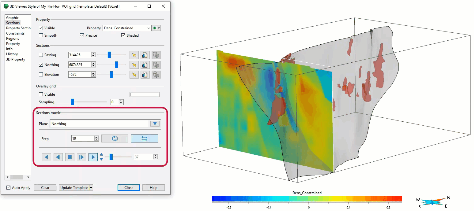
In Geoscience INTEGRATOR, you can carry out various operations on multiple files simultaneously...
Read more
March, 01 2021

Sections movies

In GOCAD Mining Suite, you can create a section animation by specifying which section plane you want to visualize...
Read more
June, 18 2022

Filter records with, or without files associated to them

Geoscience INTEGRATOR offers the convenience of associating files to data records to...
Read more
Mineral systems interpretation and targeting
December, 07 2020

Using comment field entries in drillhole databases to automatically re-log lithologies

This approach uses the comment field of the logging table to extract general topics that can then be used as learning features in a supervised machine learning classification approach.
Read more
October, 11 2021

Coordinate display area

In Geoscience ANALYST you can get real-time feedback on the XYZ coordinates corresponding to the... ..
Read more
Developer’s sandbox
August, 13 2015

R&D project with UDMN

We have been awarded a major R&D project from the Ultra Deep Mining Network (UDMN) called “4D Real-Time Geotechnical Hazard Assessment and Reporting”.
Read more
Company news
October, 18 2024

John McGaughey receives the Grahame Sands Award

John McGaughey, President of Mira Geoscience, receives ASEG's 2024 Grahame Sands Award for a career dedicated to innovation in applied geophysics.
Read more
January, 04 2021

Editing property’s colormap

In GOCAD Mining Suite, when you select a property its colormap can be edited...
Read more
Geoscience ANALYST
July, 07 2022

Inverting time domain data in Geoscience ANALYST version 4.0 – Virtual Lecture

Kristofer inverts TEM data in 1D through Geoscience ANALYST Pro Geophysics to recover conductivity in Geoscience ANALYST 4.0...
Read more
Geoscience ANALYST
May, 04 2020

Displaying drillholes

Past event, view here or via our YouTube channel...
Read more
November, 09 2020

Default data colour settings

In Geoscience ANALYST you can set a default colour table and colour mapping transformation function. This way, when you import or create new data, it will be coloured by default.
Read more

Please contact our team for additional information about our products and services