


Geoscience INTEGRATOR wins
Last December, the Ultra Deep Mining Network (UDMN) presented us with an Outstanding Achievement in Commercialization award for the technical innovation and commercial sale of Geoscience INTEGRATOR; our integrated data management and machine learning software for mining and exploration. UDMN highlighted that this software is quickly becoming the industry’s most comprehensive and advanced geotechnical data management and hazard computation system.

© 2018 Centre for Excellence in Mining Innovation. All rights reserved
Bora Ugurgel, Managing Director, Ultra Deep Mining Network, remarks, “Mira Geoscience’s UDMN project is a stellar example of implementing and adopting a technology in the mining industry. This market ready technology successfully closed commercial sales between $500 and $1 million in 2017. With R&D case studies in progress at Glencore’s Nickel Rim South; commercial deployment at JSC Apatit’s three underground phosphate mines in Russia for rockburst hazard assessment; commercial agreements for mid-2018 deployment for another Canadian mining company and additional pilot projects at two major Australian mining groups, Mira Geoscience is a Canadian mining innovation success story and UDMN is proud of this collaboration.”
John McGaughey, President, Mira Geoscience states, “We are immensely proud of this technology, which brings the benefits of 4D data integration and predictive analytics to the challenging field of geotechnical engineering in deep underground mines. We look forward to its continuing global deployment and positive impact on mine safety and production, particularly addressing formidable challenges such as rockburst hazard using the multitude of data streams that are typically available but not fully used. The support and industry network provided through CEMI and UDMN, through several phases of R&D, ensured that this innovation was industry-led, and that its outcome is industry-relevant.”
Latest news

R&D project with UDMN

Roles and permissions
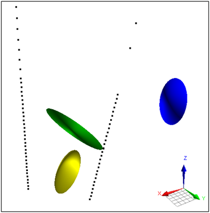
Parametric Ellipsoid Modelling in Geoscience ANALYST Pro Geophysics

Free mineral exploration data through Geoscience ANALYST

Linking cursors

Drape Voxet properties on surfaces

Object’s history

Organizing files as data sets

Creating 3D geological starting model from geological maps and structural measurements
