


Geoscience INTEGRATOR v3.5 and Geoscience ANALYST v3.2 include new themes and renamed ones to help you to locate data in a more intuitive way.
- New themes available:
- Targets
- Anomalies
- Geophysics – Inversions
- Topography
- Culture
- Claims, boundaries.
- Several themes have been renamed:
- “Mine model – Underground” is now “Fusion models”
- “Mine infrastructure – Surfaces” is now “Mine infrastructure”
- “Drillholes” is now “Drillholes and wells”
- “Remote sensing” is now “Remote sensing & air photos”
- “Geotechnical monitoring” is now “Geotechnical”.

Previous tips can be found under the Software tip category in the News section and in the Archives section of our website.
Latest news

Roles and permissions
In Geoscience INTEGRATOR, system administrators give users different levels of permission by role-based access...


Generating exploration models from a detailed structural interpretation and Artificial Intelligence
This approach uses the comment field of the logging table to extract general topics that can then be used as learning features in a supervised machine learning classification approach.

Extending workflows with rapid model generation – Virtual Lecture
Past event - Shaun O'Connor showed how to use the built-in scripting tools for exploratory geological modelling with sparse data...

Import geoh5 into GOCAD Mining Suite
Seamlessly go between GOCAD Mining Suite and Geoscience ANALYST...

Filtering samples by their drillhole
In Geoscience INTEGRATOR, you can can filter them according to the drillhole they are located in...

Search for Objects – find anything, anywhere, anytime
In GOCAD Mining Suite find any objects you're looking for in no time...

Organizing files as data sets
In Geoscience INTEGRATOR, a data set is often composed of a group of files of various formats along with metadata. These can be grouped...

3D seismic data
In Geoscience ANALYST you can import and visualize 3D seismic data, and plan your next seismic survey with the seismic reflection survey designer....

Find and Replace
In GOCAD Mining Suite find and replace any objects you're looking for in no time...
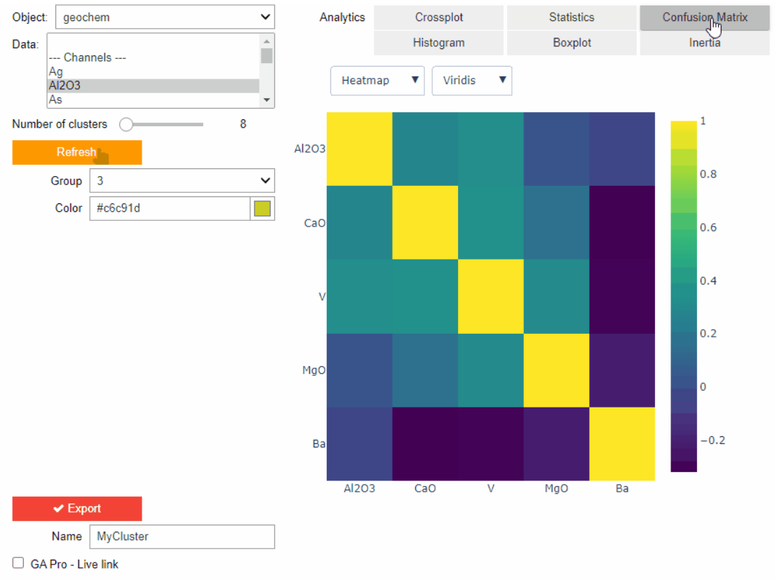
Clustering data stored on geoh5 objects
Past event. View here or on our YouTube channel...

Easily display a property on multiple objects
In GOCAD Mining Suite objects are grouped by the properties they contain...