



With the upcoming version 3.4, users will be able to edit their files’ settings. This comes in quite handy when you wish to edit descriptions, create a new file types, or add ‘is data file’ identifier to previously imported files. This can be modified in the File manager and Maps/plans/sections pages.


Previous tips can be found under the Software tip category in the News section and in the Archives section of our website.
Latest news

Linking cursors
In Geoscience ANALYST you can use the Link Cursors button to helps to track the location of your cursor across multiple Viewports...

Attending PDAC 2026?
Visit us at booth 814 to see our software solutions in action and discuss your needs with our expert team!
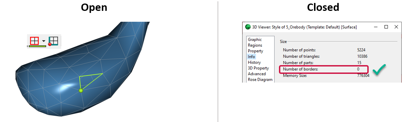
Is the surface opened or closed?
In GOCAD Mining Suite you can easily know if your surface is opened or closed by...

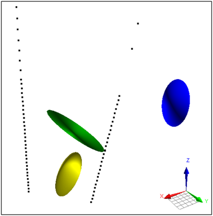
Parametric Ellipsoid Modelling in Geoscience ANALYST Pro Geophysics
A Fast New Way to Interpret TEM Anomalies. Read more >>

Digital Mapping, The Future!
Capture geological observations quickly, safely, and accurately, both in the field and office with HiveMap...

Tagging query results
In Geoscience INTEGRATOR, this allows you to rapidly access that subset of objects. Instead of having to search and select multiple filters every time...

New release – Geoscience ANALYST 4.5
Geoscience ANALYST 4.5 brings performance improvements and key new features to all modules. Download it now!

Themes
Geoscience INTEGRATOR v3.5 and Geoscience ANALYST v3.2 include new themes and renamed ones to help you to locate data in a more intuitive way.

HiveMap Digital Mapping Software
Safety is always the number one priority on every job and work site. Whether in underground, open pit, or civil engineering settings, our most important job is to make sure…

Using Python with Geoscience ANALYST
A new Geoscience ANALYST Python API, providing the capability of connecting to open source software, is scheduled for release....

K-means clustering
In Geoscience ANALYST Pro’s v3.3, you can quickly partition your data based on the K-means clustering...