



Tagging query results allows you to rapidly access that subset of objects. Instead of having to search and select multiple filters every time, you can filter your query by that tag. Objects can be added to or removed from that tag at any time.

Previous tips can be found under the Software tip category in the News section and in the Archives section of our website.
Latest news

Mira Geoscience Partners with Tessael to Advance Geological Modelling in Geoscience ANALYST
Capture geological observations quickly, safely, and accurately, both in the field and office with HiveMap...
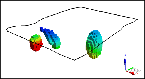
VPem3D in Geoscience ANALYST Pro Geophysics
Accelerating 3D TEM Interpretation with and without Geological Constraints. Read more >>

New release – Geoscience ANALYST 4.5
Geoscience ANALYST 4.5 brings performance improvements and key new features to all modules. Download it now!
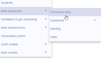
New mine production theme
In Geoscience INTEGRATOR, version 3.2 has a new theme called Production area. It’s designed for stope, mining room, or drawpoint data...

Filter records with, or without files associated to them
Geoscience INTEGRATOR offers the convenience of associating files to data records to...

Default data colour settings
In Geoscience ANALYST you can set a default colour table and colour mapping transformation function. This way, when you import or create new data, it will be coloured by default.

Customize the Viewport axis labels
In Geoscience ANALYST you can customize the Viewport axis labels
..


Python applications for geoscientific problems
geoh5py and geoapps - Open format, open source code, and open licensed data! Cannot get any better than that!

New release – GOCAD® Mining Suite V14.5
GMS V14.5 expands the Python API, enhances connectivity with Geoscience ANALYST, and improves interoperability through the open GEOH5 format.

GEOH5: A Framework for Geoscience Data and Model Portability
Used by thousands, GEOH5 is the open-source data structure that is taking down the interoperability barriers and revolutionizing...
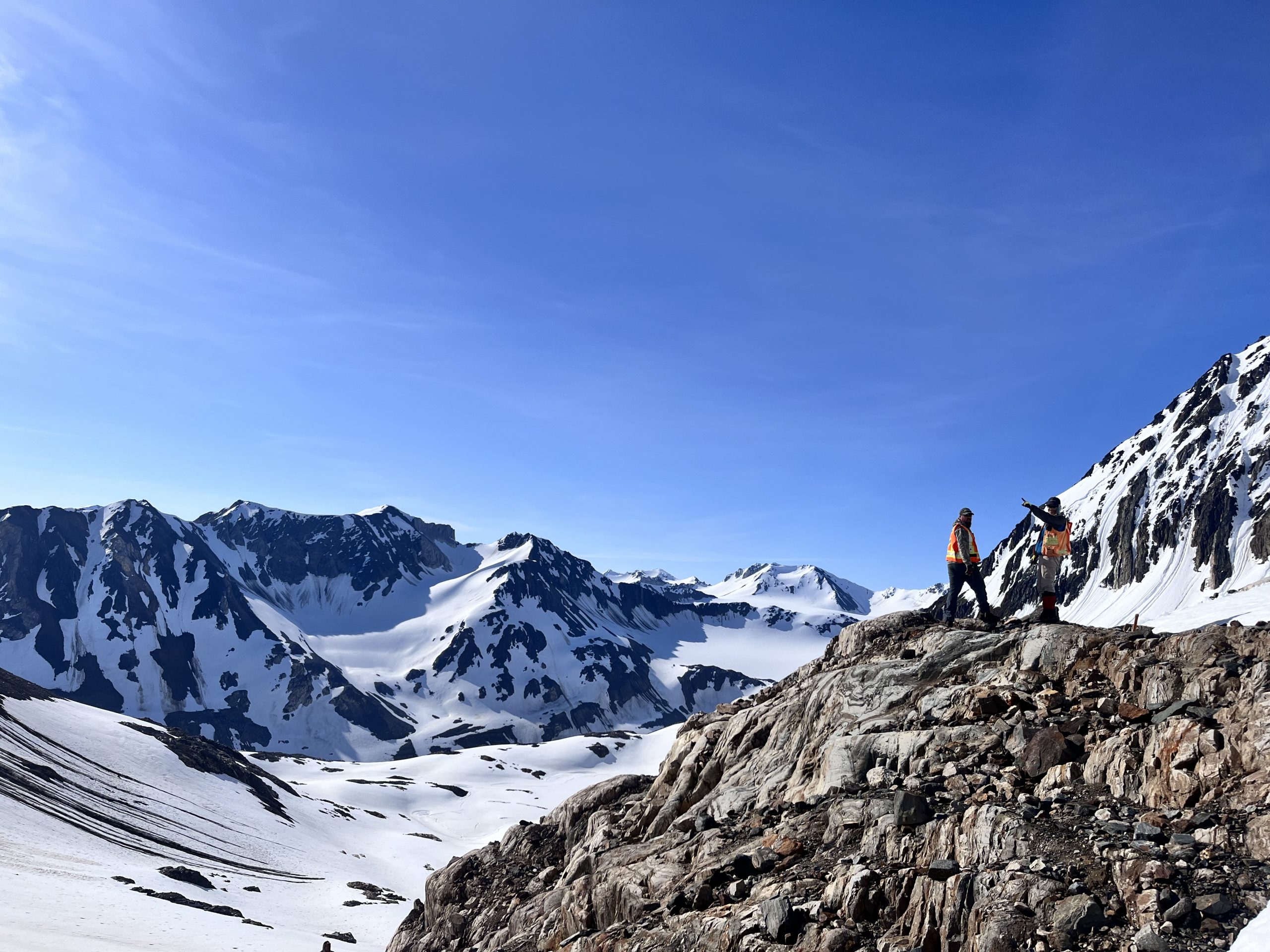
Digital Mapping, The Future!
Capture geological observations quickly, safely, and accurately, both in the field and office with HiveMap...