


Coffee break… and learn about Geoscience INTEGRATOR data management
Available on on our YouTube channel
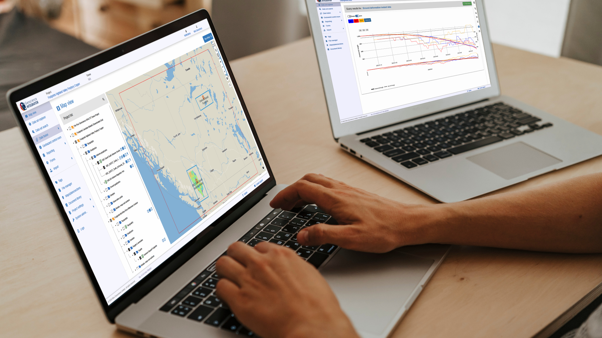
In this lecture, Valérie Laflèche showed how to access a multitude of open licensed mineral exploration data, models, and documents from major ore deposit types in Canada. The public data repository is provided by Mira Geoscience’s Geoscience INTEGRATOR data management system through Geoscience ANALYST. In this session, we looked at data from the NSERC-CMIC ‘Footprints’ research project public data repository.
In 20 minutes learn how to:
- Key concepts of Geoscience INTEGRATOR
- Connecting via Geoscience ANALYST
- Browsing through themes and data sets to familiarize yourself with the project
- Methods to easily import and query files and data sets

With expertise in multi-disciplinary data integration, geohazard assessment, and software development management, Valérie leads the company’s 4D data management and geotechnical hazard assessment projects. As Director, Geotechnical Projects, she works with international clients from initial scoping of data sources, data management, and geohazard assessment, to training and deployment of our customized software systems. Valérie is a geological engineer with a background in mining and mineral exploration geophysics. She spent two years studying mining engineering at École Polytechnique de Montréal. Her M.A.Sc. research focused on physical rock properties of ore deposits. Valérie is based in Montreal.
Latest events and news

Data fusion – Automatic sample compilation

3D seismic data

Search for Objects – find anything, anywhere, anytime
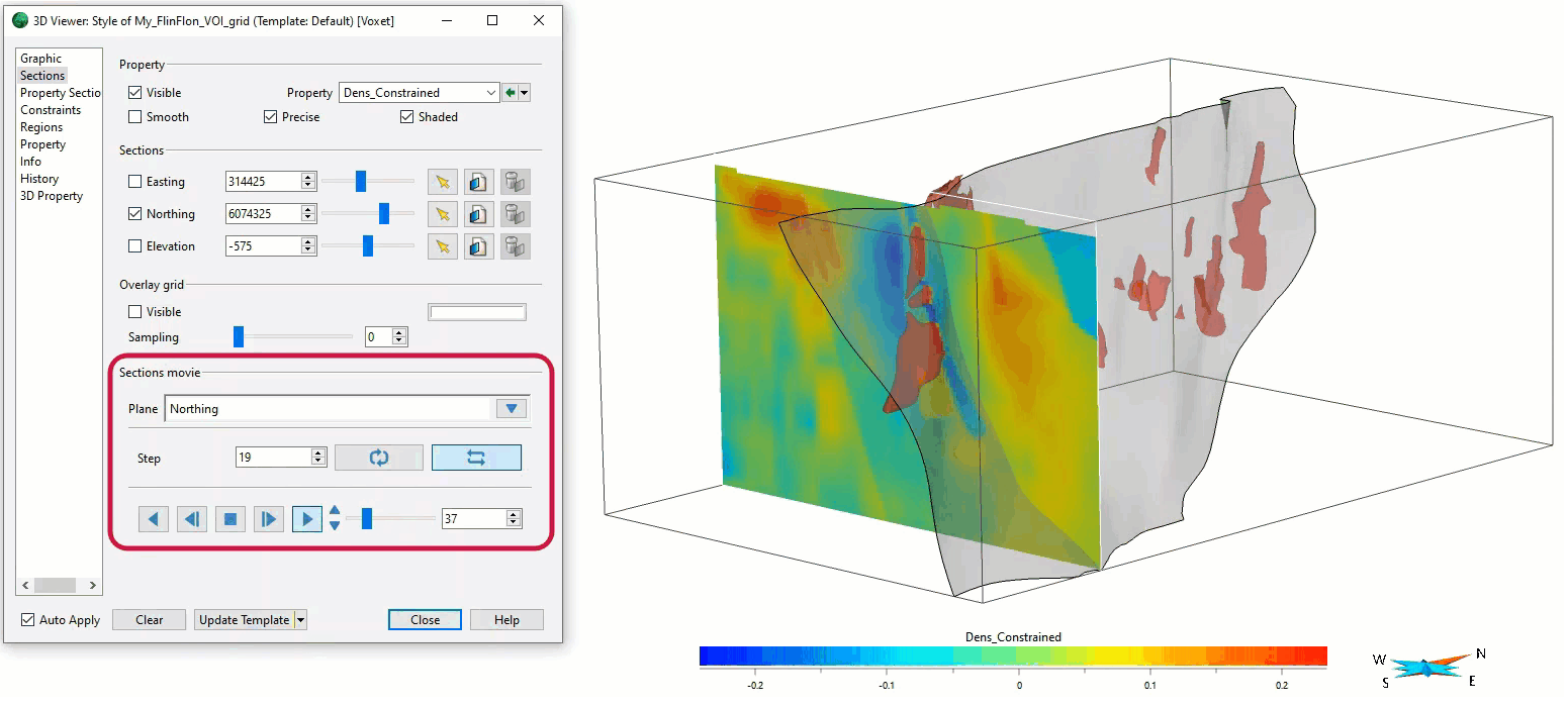
Sections movies

Visualize 3D vector properties

View neighbourhoods in 3D
New release – Geoscience INTEGRATOR 4.3

15 tips in 15 minutes

Reshape using spiderwebs

UBC-GIF or VP Suite inversion?

