



There are two ways to create classifications when importing data. For a ‘one off’ classification, you can provide the list of classes at the time of import. For classifications that may be used often, such as a rock code, you can create a project classification.

It is possible to assign colours to classes of the project classifications, ensuring consistent visualization of the data in charts and in 3D.

Previous tips can be found under the Software tip category in the News section and in the Archives section of our website.
Latest news

Customize the Viewport axis labels
In Geoscience ANALYST you can customize the Viewport axis labels
..

Visualize 3D vector properties
In GOCAD Mining Suite the normal of a surface is an example of a 3D vectorial property, where the components of the vector are...

Women Geoscientists in Canada
We are proud sponsors of WGC, advocates for increased gender balance within geosciences...

New raster imports
In Geoscience ANALYST you can now import GeoTIFF (tif, tiff), ERMapper (ers), and Surfer (grd)...
..

Generating exploration models from a detailed structural interpretation and Artificial Intelligence
This approach uses the comment field of the logging table to extract general topics that can then be used as learning features in a supervised machine learning classification approach.

New release – GOCAD® Mining Suite V14.5
GMS V14.5 expands the Python API, enhances connectivity with Geoscience ANALYST, and improves interoperability through the open GEOH5 format.

UBC-GIF or VP Suite inversion?
"The programs are complementary, and the combination gives one the ultimate flexibility in potential-field inversion,” says Kristofer Davis, Scientific Programmer at Mira Geoscience.

Linking cursors
In Geoscience ANALYST you can use the Link Cursors button to helps to track the location of your cursor across multiple Viewports...

Taskbar icons
In GOCAD Mining Suite, icons are added to the taskbar when you open windows such as another 3D Viewer or the 3D-GIS Query panel...

Creating 3D geological starting model from geological maps and structural measurements
In this lecture, Philippe generates a 3D geological model from a map with structural measurements in Geoscience ANALYST...

New filter options on the File manager and the Maps/plans/sections
In Geoscience INTEGRATOR, you can now find files quickly by using the new extension, tags and uploaded by filters...
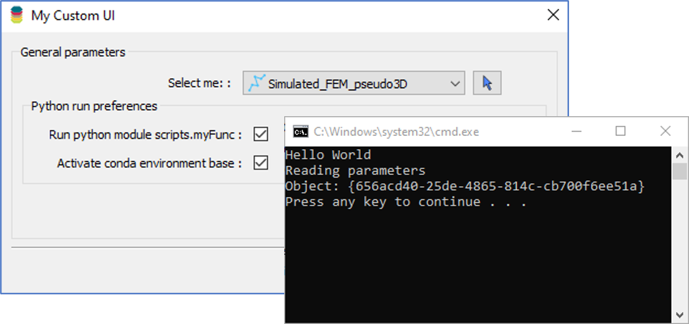
Using Python in Geoscience ANALYST Pro – Virtual Lecture
Past event, link available here...