



The Data set explorer provides a simple, immediate ‘dashboard’ access to all the data sets and their summary information. Clicking on a data set summary box will provide additional info as well as access to explore deeper using filtering and charting tools.

Previous tips can be found under the Software tip category in the News section and in the Archives section of our website.
Latest news

Project locks
In GOCAD Mining Suite, lock files manage the reading and writing of SKUA-GOCAD projects. They are automatically created...
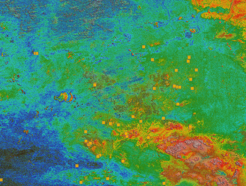
Building a greenfields project from public data in Geoscience ANALYST Pro – Virtual Lecture
See recording - Gem shows how Geoscience ANALYTS is a great tool to do exploration without getting your boots dirty...

Québec Mining 2024
Explore the full interview that Scott Napier did for Québec Mining 2024

Transfer data between objects
In Geoscience ANALYST Pro you can Transfer data between objects...

Filter records with, or without files associated to them
Geoscience INTEGRATOR offers the convenience of associating files to data records to...

Organizing files as data sets
In Geoscience INTEGRATOR, a data set is often composed of a group of files of various formats along with metadata. These can be grouped...

Managing import templates
In Geoscience INTEGRATOR it is possible to edit Import template names and no-data values, activate/deactivate templates, see...

Taskbar icons
In GOCAD Mining Suite, icons are added to the taskbar when you open windows such as another 3D Viewer or the 3D-GIS Query panel...
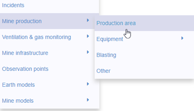
New mine production theme
In Geoscience INTEGRATOR, version 3.2 has a new theme called Production area. It’s designed for stope, mining room, or drawpoint data...
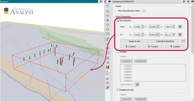
Automatic calculation of XYZ for drillhole sample location
In Geoscience INTEGRATOR, drillhole sample locations are automatically computed as XYZ by the system from the deviation surveys...

Roles and permissions
In Geoscience INTEGRATOR, system administrators give users different levels of permission by role-based access...

Improved scatter plots
In Geoscience INTEGRATOR, you can can increase/decrease the node size, take snapshots, zoom in on an area of interest...