


Using magnetic susceptibility measurements to define mineral exploration targets
Mineral explorationists rely on quality data processing to help minimize exploration risk and effectively define new targets. When teams collect multiple sets of surface and borehole geological and geophysical data, Mira Geoscience uses the Common Earth Model framework to integrate all data sets for superior interpretation and better decision-making.
In the case of porphyry copper-gold deposits, the identification of a high temperature hydrothermal centre often associated with magnetite is frequently an attractive exploration target. Traditionally, magnetic inversion models derived from surface or airborne data are used to identify magnetic bodies at depth. However, regional magnetic trends and/or the presence of high magnetic susceptibility geological units may obscure the magnetic signature of such discrete bodies. By combining ground or airborne magnetic survey data with measured drillcore susceptibility data, the resolution and geometrical accuracy of the magnetic inversion is greatly increased.
Case study: Triumph Gold Corp’s Freegold Mountain Project, Yukon, Canada
The Freegold Mountain Project is a great example of producing useful alteration modelling through geologically-driven constrained magnetic inversion of ground and airborne magnetic surveys guided by drillhole magnetic susceptibility measurements. This helped Triumph Gold identify valuable new exploration targets based on a porphyry copper-gold deposit model.
Utilizing drillhole magnetic susceptibility measurements to build a starting susceptibility model for the magnetic inversion, and then fixing the model susceptibility where intercepted by drilling, effectively uses all available sources of subsurface magnetic information. This approach allowed Mira Geoscience to improve the representation of drilled magnetic zones within the inversion model to highlight residual susceptible material in underexplored areas. GOCAD Mining Suite was used to interpolate the downhole susceptibility data via simple kriging within the vicinity of logged boreholes in each rock type of the geologic model.
VP Geophysics Suite (VPmg) was used to test the conformity of the provided 3D geologic model with the different magnetic surveys through forward modelling. Some adjustments were performed on the starting model to minimize the residual values due to discrepancies between the geological model and the observed data. The drillhole magnetic susceptibilities were interpolated into the model using simple kriging and homogeneous inversions allowed optimization of magnetic susceptibility values for each modelled lithology in regions beyond the influence of drillhole data. Finally, a drillhole constrained heterogenous magnetic susceptibility inversion was performed. This inversion resolves anomalies not explained by the geological and physical property inputs while preserving magnetic susceptibility information in model cells intercepted by the drillholes.

©2021 Triumph Gold Corp. Successful intersection of magnetic anomalies at Keirsten from drillhole and geologically constrained 3D magnetic susceptibility inversion results presented over the Freegold Mountain property.
In the end, the drillhole-constrained magnetic inversion model successfully identified pipe-shaped magnetic anomalies interpreted to represent high heat centres marked by potassic alteration and the presence of magnetic material (see figure above). Triumph Gold’s 2020 field season confirmed that the anomaly observed in the Keirsten Zone was in fact associated with a mineralized hydrothermal system. A similar magnetic anomaly was confirmed in 2020 drilling, near the Revenue Deposit. Magnetic anomalies are also observed under and in the vicinity of the gold and copper rich WAu and Blue Sky Breccias, which Triumph plans to explore in the coming exploration season.
Notes on software
GOCAD Mining Suite (GMS) is the only 3D interpretation environment that allows the creation of plausible geologic models that honour all geoscientific data, whether the data are sparse or dense. It performs especially well in the context of a large amount of borehole information to constrain 3D geological and geophysical data modelling. GMS, along with VPmg, enables Mira Geoscience to interactively interpret and model geologic data using borehole physical property measurements with potential field data. This unique setup, in concert with four different inversion styles, gives our consultants and clients full control to test geological hypotheses through forward modelling, extend geologic models, or discover new prospective areas.

Stanislawa Hickey P.Geo. (Limited)
Stanislawa is an experienced geophysicist who works with clients through consulting, training, and technical support. She is proficient in 3D geophysical modelling (EM, DC/IP, potential fields) and integrated interpretation. She has substantial field experience in geophysical data acquisition. Stanislawa has an MSc in Geophysics, Resources and Environment from Université Pierre et Marie Curie, France. Stanislawa is based in Toronto.

Jean-Philippe Paiement P.Geo.
Jean-Philippe is our Director of Global Consulting. He brings 10 years of mineral exploration experience including expertise in geostatistics, structural, geological, and geochemical modelling and interpretation. He is skilled in the application of machine learning to overcome geological challenges and with new methods to reduce interpretational risks with geological data. He has a wide range of experience in mineral resource estimation for precious metals, base metals and industrial minerals across diverse geological environments around the world. He obtained an MSc from Laval University. Jean-Philippe is based in Quebec-City.

Chrissy Williston P.Geo.
Chrissy is a world-class geomodeller. A geophysicist by trade, she has 20+ years experience constructing 3D multi-disciplinary geological models for a wide variety of mineral exploration and mining applications. Prior to Mira Geoscience, Chrissy worked for a geophysical consulting company in Canada and was involved in various mining exploration projects worldwide. She obtained a BSc Honours degree in Earth and Atmospheric Science at York University in Toronto. Chrissy is based in Miramichi.
Latest news

Using predictive modelling in mineral exploration

Object’s history

Using Python with Geoscience ANALYST

How to run gravity inversions in a geologically driven way

Linking cursors

Pointer Tracking

EM101: Tips and tricks for EM data in Geoscience ANALYST

Scripting

HiveMap Digital Mapping Software
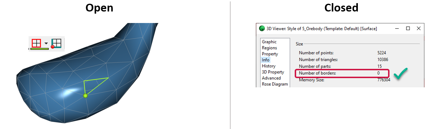
Is the surface opened or closed?
