


In the upcoming Geoscience INTEGRATOR v3.7, the “Earth models” theme group is renamed “Models, maps and sections” and the theme’s names were changed to make them more generic.

The “Earth models – other” theme is now dedicated for maps and sections.
Previous tips can be found under the Software tip category in the Resources section and in the Archives section of our website.
Latest news
Using Python in Geoscience ANALYST Pro – Virtual Lecture
Past event, link available here...

Free mineral exploration data through Geoscience ANALYST
Past event - view here or on our YouTube channel...

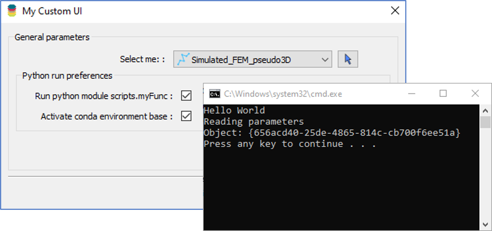
Getting started with the Python geoh5py
Past event, view here or via our YouTube channel...

Filtering samples by their drillhole
In Geoscience INTEGRATOR, you can can filter them according to the drillhole they are located in...


A YouTube Channel about 3D modelling
We have quite a few how-to and tutorial videos lined up on YouTube highlighting our earth modelling, interpretation, and data management software for the construction of plausible geological models.

Labelling
In Geoscience ANALYST, labels can be added to draw attention to a particular feature in the Viewport by...

New release – Geoscience INTEGRATOR 4.1
Geoscience INTEGRATOR 4.1 unveils a range of new features and improvements designed to boost performance and enhance user experience.

Tagging query results
In Geoscience INTEGRATOR, this allows you to rapidly access that subset of objects. Instead of having to search and select multiple filters every time...

Object’s Info
In GOCAD Mining Suite you can see how many nodes or triangles your Surface object consists of by right-clicking on...

New release – GOCAD® Mining Suite V14.5
GMS V14.5 expands the Python API, enhances connectivity with Geoscience ANALYST, and improves interoperability through the open GEOH5 format.

Geoscience INTEGRATOR AI for exploration
Geoscience INTEGRATOR, the missing AI link for exploration. This unique web-based data management system is designed...