GOCAD Mining Suite – The construction of plausible geological models
Available on our YouTube channel
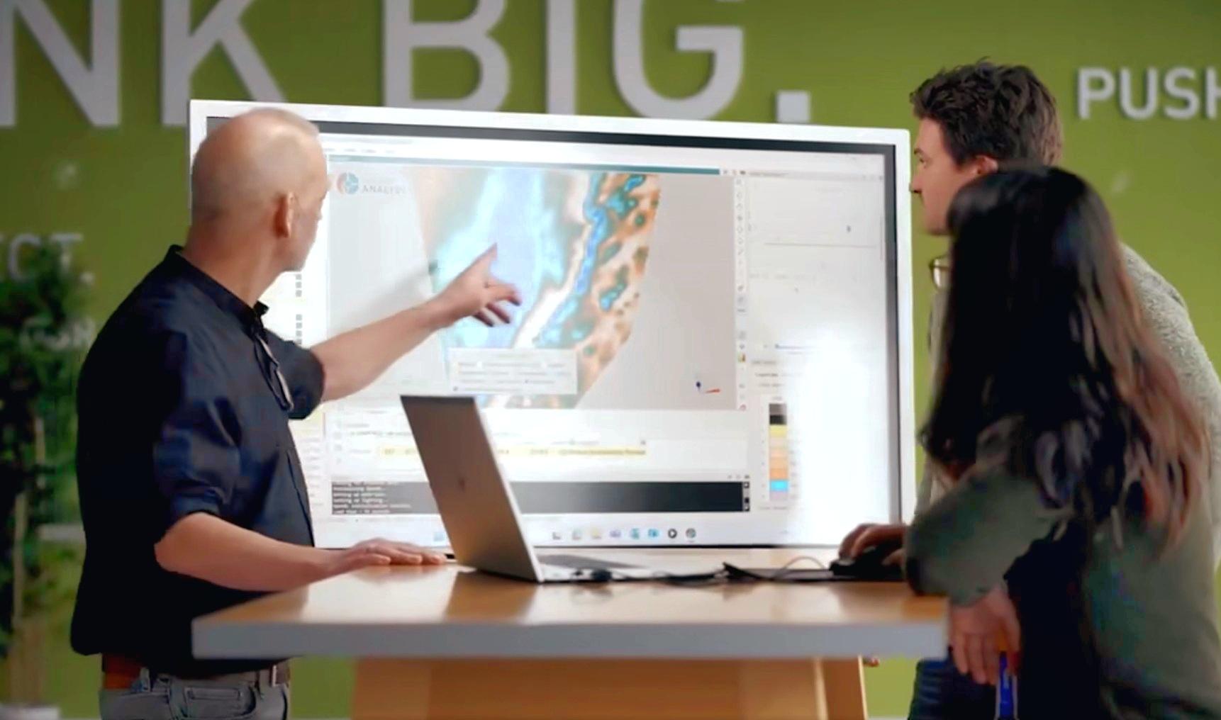
In this lecture, Shaun O’Connor showed how to use the built-in scripting tools in GOCAD Mining Suite for exploratory geological modelling with sparse data. During exploratory modelling, sparse geological constraints, surfaces, solids, or curves are used to construct multiple plausible models for evaluation using geophysical forward modelling. This lecture showed extending GMS using scripting, rapid model generation from limited geological constraints, and easy integration with geophysical inversion software.
Notes about the software:
GOCAD Mining Suite is an industry-leading platform providing 3D earth models tools that handle geological, geophysical, geochemical, structural, and geotechnical data. It specializes in the subsurface modelling of challenging environments within the realms of exploration, resource assessment, mine sites, and geotechnical modelling. It is the leading 3D geological software for structural modelling, excelling even where drillhole control is minimal or non-existent. It exceeds in geologically-based 3D inversion and geophysical modelling, complex stratigraphic and fault modelling, geotechnical rock mass modelling and hazard assessment.
Come to this session with your questions. You’ll be able to submit them directly to Shaun during our live Q&A session.

Shaun is an exploration geologist with over 10 years of experience in exploration and geological modelling in varied environments, including Cordilleran arcs and intrusions, Archean greenstone belts, bimodal volcanic systems, and mafic-ultramafic intrusives. Shaun’s focus is on geological models, from the mine-scale to regional-scale, the empirical controls on mineralization, and the use of geological models to solve problems like mineral prospectivity and geological uncertainty. He is skilled in the geological interpretation of geophysical data including magnetics, gravity, EM, and IP. He is an expert in the application of Python and the development of custom solutions for geological data processing, analysis, and machine learning for mineral prospectivity and knowledge discovery.
Shaun’s approach to modelling is to develop an understanding of each new mineral system in consultation with client experts and through deep analysis of the available geological and geophysical data. He uses his extensive modelling experience, data science skills, and understanding of mineral deposits and geological data to transform data into constraints and design geological models that help clients accomplish their exploration goals.
Before joining Mira Geoscience, Shaun worked for Mercator Geological Services, Goldcorp Red Lake Mines, and Golden Predator Corp. He obtained his MSc in geological sciences from Queen’s University and is based in Halifax.
Latest events and news

A YouTube Channel about 3D modelling

Macros

Automatic rotation

Geoscience ANALYST Pro Geophysics Consortium

Creating properties within the script editor

DC resistivity inversion in Geoscience ANALYST Pro Geophysics

R&D projects in data management

Q&A Irish Centre for Research in Applied Geosciences

Default data colour settings

Revolutionizing Subsurface Interpretation and 3D Visualization with Geoscience ANALYST Pro

EM101: Tips and tricks for EM data in Geoscience ANALYST


