


In the upcoming Geoscience INTEGRATOR v3.6, you can carry out various operations on multiple files simultaneously, such as edit, delete, download, and associate tags and data sets through the File manager and the Maps/plans/sections pages.

Previous tips can be found under the Software tip category in the News section and in the Archives section of our website.
Latest news

New release – Geoscience INTEGRATOR 4.1
Geoscience INTEGRATOR 4.1 unveils a range of new features and improvements designed to boost performance and enhance user experience.

Customize the Viewport axis labels
In Geoscience ANALYST you can customize the Viewport axis labels
..

Rock reclassification editor
In GOCAD Mining Suite, you can simplify logging codes for modelling projects and data management using the Rock reclassification editor...

Using magnetic susceptibility measurements to define mineral exploration targets
Combining magnetic survey data with measured drillcore susceptibility data greatly increases the resolution and geometrical accuracy of the magnetic inversion...

EM101: Tips and tricks for EM data in Geoscience ANALYST
In 20 minutes, James Reid show's you EM101 using Geoscience ANALYST Pro, a low-cost...

Reopening selected commands
In GOCAD Mining Suite the Log and Command Messages panel has a new tool to reopen previously executed commands...

FAQ – Can I use v18 with v17u2?
FAQ – Can I use SKUA-GOCAD 18 with GOCAD Mining Suite 17 update2? Yes, you can if you...

Inverting time domain data in Geoscience ANALYST version 4.0 – Virtual Lecture
Kristofer inverts TEM data in 1D through Geoscience ANALYST Pro Geophysics to recover conductivity in Geoscience ANALYST 4.0...
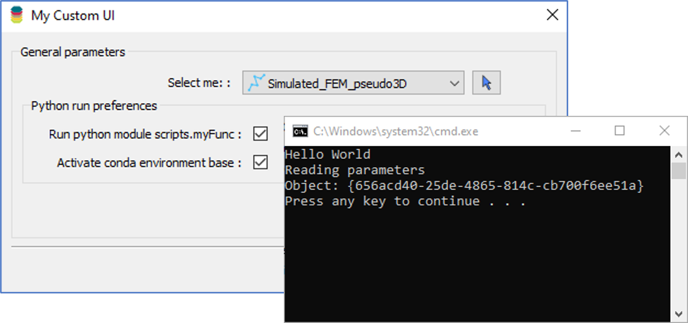
Using Python in Geoscience ANALYST Pro – Virtual Lecture
Past event, link available here...

Filtering samples by their drillhole
In Geoscience INTEGRATOR, you can can filter them according to the drillhole they are located in...

View neighbourhoods in 3D
You can display your neighbourhoods in Geoscience INTEGRATOR 3D viewer, making it easier to understand spatial distribution of the data.

Adding reference images
You can add reference images to mine fusion models and hazard reports in Geoscience INTEGRATOR to better orient yourself visually.