


Double-click an object in the 3D Viewer to quickly and easily access its Style Toolbar. If it is painted by a property, its Secondary Style Toolbar will also become active and displayed.

The Objects browser will update to highlight the selected object and the Commands menu will show options related to the type of object selected.
Previous tips can be found under the Software tip category in the News section and in the Archives section of our website.
Latest news

Rapid and accurate mapping
We explain how automated generation of alteration maps using radiometric data is well-suited to large-footprint mineral systems...

A YouTube Channel about 3D modelling
We have quite a few how-to and tutorial videos lined up on YouTube highlighting our earth modelling, interpretation, and data management software for the construction of plausible geological models.

Save classifications as xml
In GOCAD Mining Suite, Saving complex geological classifications, such as for drillholes, allows you to share them with a colleague or...

Geoscience ANALYST Pro Geophysics Consortium
Today we are highlighting our new, industry-led, research consortium focused on delivering software and methods that make the use of advanced geophysics a day-to-day, practical reality for industry...

R&D projects in data management
Over the past couple of years we have been developing skills and technology in practical, business-focused data management as a solid foundation for modelling, analysis, and interpretation.

Centering objects in the Viewport
In Geoscience ANALYST, you can automatically turn on the selection, center the view, and...

Including water bodies in gravity and magnetic inversion modelling – Geoscience ANALYST Pro Geophysics
Thomas Campagne demonstrated how to explicitly include bathymetry in inversion modelling of near-shore gravity data...

New release – GOCAD® Mining Suite V14.5
GMS V14.5 expands the Python API, enhances connectivity with Geoscience ANALYST, and improves interoperability through the open GEOH5 format.

Visualize structural measurements
In GOCAD you can visualize strike and dip measurements as tablets, discs, or orientation vectors by initializing Structural Graphics...

Editing file settings
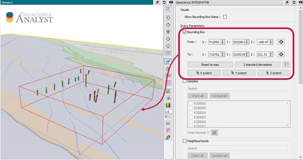
In Geoscience INTEGRATOR version 3.4, users will be able to edit their files’ settings...
Automatic calculation of XYZ for drillhole sample location
In Geoscience INTEGRATOR, drillhole sample locations are automatically computed as XYZ by the system from the deviation surveys...

Scientific colour-maps
In GOCAD, use F. Crameri's Scientific colour-maps. These colour-maps are perceptually...