")
HiveMap
Your digital mapping solution to capture and analyze high-quality geological observations
HiveMap is a cutting-edge mapping solution that empowers geoscience professionals to capture high-quality data in the field and share it in real-time, improving collaborative decision-making across teams
")
")
")
")
")
")
")
Better Mapping Leads to Better Decisions
HiveMap helps teams capture high-quality geological data, collaborate in real time, and move more quickly from observation to interpretation—reducing risk, improving confidence, and delivering more effective geological outcomes across projects.
By enabling detailed mapping of joints, faults, and fracture networks directly on high-resolution 3D rock surfaces, HiveMap makes structural orientation patterns easier to recognize, structural continuity easier to trace, and three-dimensional geological behaviour easier to understand. Working seamlessly across tablet and desktop, structural measurements can be captured in the field, refined in the office, and visualized instantly, supporting stronger targeting, safer mine designs, and more informed technical decisions. The result is more robust geological models built on clear, consistent, and spatially accurate structural data.
What Is Mapping?
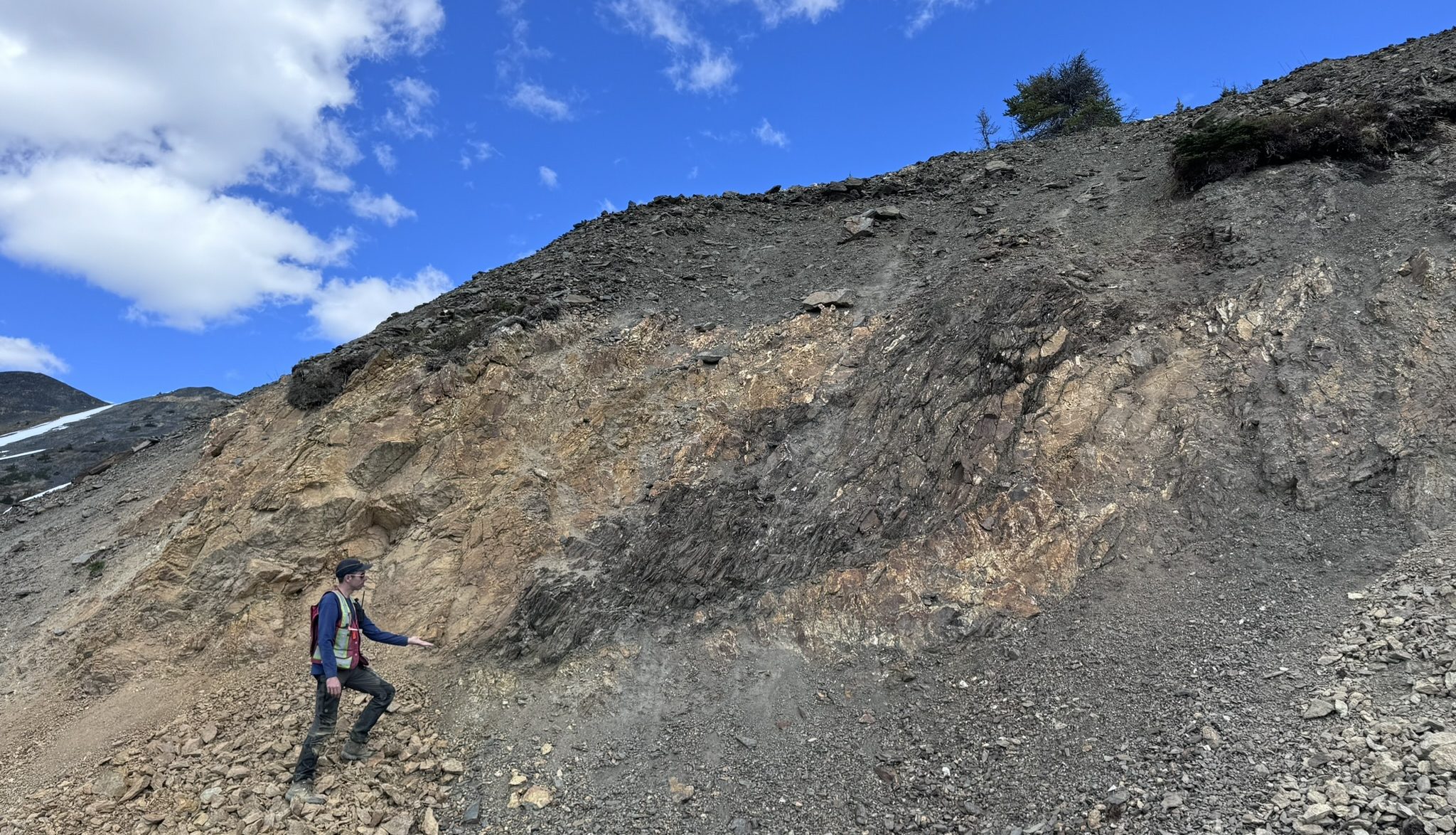
Mapping is the process of looking at the rocks and recording what we see. Depending on our technical discipline, what we record, and the level of detail achieved can vary significantly. Mapping involves recording the location of geological features, their orientations, and their attributes. These fundamental observations must be recorded properly and consistently to support downstream analysis and modelling work.
Why Is Mapping Important?
These fundamental observations form the foundation of geological understanding. Accurate and consistent mapping ensures that data can be trusted, compared, and reused—supporting downstream interpretation, analysis, and modelling. High-quality mapping reduces uncertainty, improves decision-making, and enables teams to build reliable geological models that inform exploration, engineering, and development outcomes.