Geological & Geophysical Consulting Services
We provide specialized mineral exploration and mining consulting services in geological modelling that fully incorporate drillhole, geological mapping, geophysical, geochemical, and geotechnical data to achieve your exploration and geotechnical objectives. Our experts provide a wide spectrum of services such as integrated interpretation, geological model construction, software training, and advisory services. We are the industry leaders in advanced 3D and 4D interpretation and earth modelling, geologically-driven geophysical inversion, exploration targeting, geotechnical hazard assessment, and 4D geoscience data management solutions.
Mineral exploration consulting services
Geological interpretation and 3D modelling
We provide the knowledge and tools for the construction of 3D models and interpretation of complete geological frameworks supported and cross-validated by multiple data sets.
Advanced geophysical interpretation, modelling, and inversion
We provide the knowledge and tools for interpretation and creation of geological models fully consistent with geophysical field data.
Mineral systems interpretation and targeting
We provide the knowledge and tools for the construction of 3D models and interpretation of complete geological frameworks supported and cross-validated by multiple data sets.
Geostatistics and machine learning
We offer solutions and knowledge to properly conduct exploratory data analysis, interpolations, simulations, and enhanced interpretation leveraging the power of machine learning algorithms.
Stratigraphic interpretation and modelling
We provide the knowledge and tools for interpretation and creation of geological models fully consistent with geophysical field data.
4D geotechnical hazard assessment
Our team has the skills and technology to quantitatively forecast geotechnical hazards for design or real-time monitoring.
Please contact our consultants for additional information about our products and services


ERO Copper Curaçá Valley, Brazil

Gold Fields Cave Rocks, Australia

Mutooroo Iron Project area, Australia

Customized list of file types to help filtering your files

Creating 3D geological starting model from geological maps and structural measurements

New release – Geoscience INTEGRATOR 3.9

Is the surface opened or closed?

Searching in the objects tree

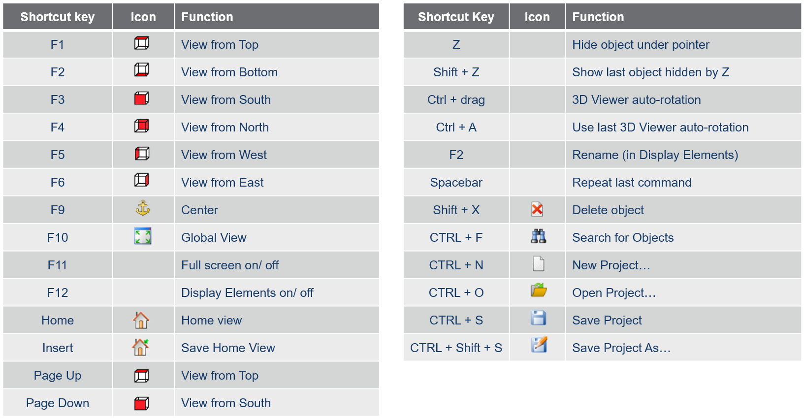
Using hot keys

Organizing files as data sets


