Coffee break… and learn!
Available on our YouTube channel

In this lecture, Carla Gonzalez showed how to combine Geoscience ANALYST’s powerful visualization capabilities with ioGAS’s exploratory data analysis. Using the ioGAS live link, this demonstration included how to:

  • Connect to the live link
  • Visualize data in 3D with ioGAS’s attributes
  • Visualize the results of the analysis performed in ioGAS’s diagrams and graphs, including the stereonet, in a full-featured 3D platform

Don’t miss out, our lectures happen every month! To get the link to join the event, follow us on LinkedIn or sign up to the mailing list.

Past episodes are available on our YouTube channel. More details about this series can be found on our Events page or join the mailing list.

Carla is our Trainer for SKUA-GOCAD and Geoscience ANALYST. In this role Carla will also be participating in testing, documentation, and support. She has previous experience with Apex Geoscience, Maple Gold Mines, and Pretium Resources where she was primarily involved with geological field work. She has a BSc in Earth and Planetary Sciences from McGill University. Carla is based in Montreal.

Latest events and news

August, 10 2020

Importing and visualizing VP Geophysics models

In Geoscience ANALYST v3.1, VP Model objects can now be imported by a simple drag and drop! You can then visualize the model and,...
Read more
Software releases
September, 16 2026

New release – Geoscience INTEGRATOR 4.1

Geoscience INTEGRATOR 4.1 unveils a range of new features and improvements designed to boost performance and enhance user experience.
Read more
Developer’s sandbox
June, 08 2020

Advanced drillhole planning and monitoring

We partnered with Groupe MISA to develop a low-cost 3D application where all elements of drillhole design and monitoring...
Read more
July, 05 2022

Object’s Info

In GOCAD Mining Suite you can see how many nodes or triangles your Surface object consists of by right-clicking on...
Read more
January, 26 2022

Editing property settings: Display template

In GOCAD Mining Suite you can editing property settings through display templates...
Read more
January, 13 2022

New raster imports

In Geoscience ANALYST you can now import GeoTIFF (tif, tiff), ERMapper (ers), and Surfer (grd)... ..
Read more
June, 03 2019

Preview files in the Maps/plans/sections page

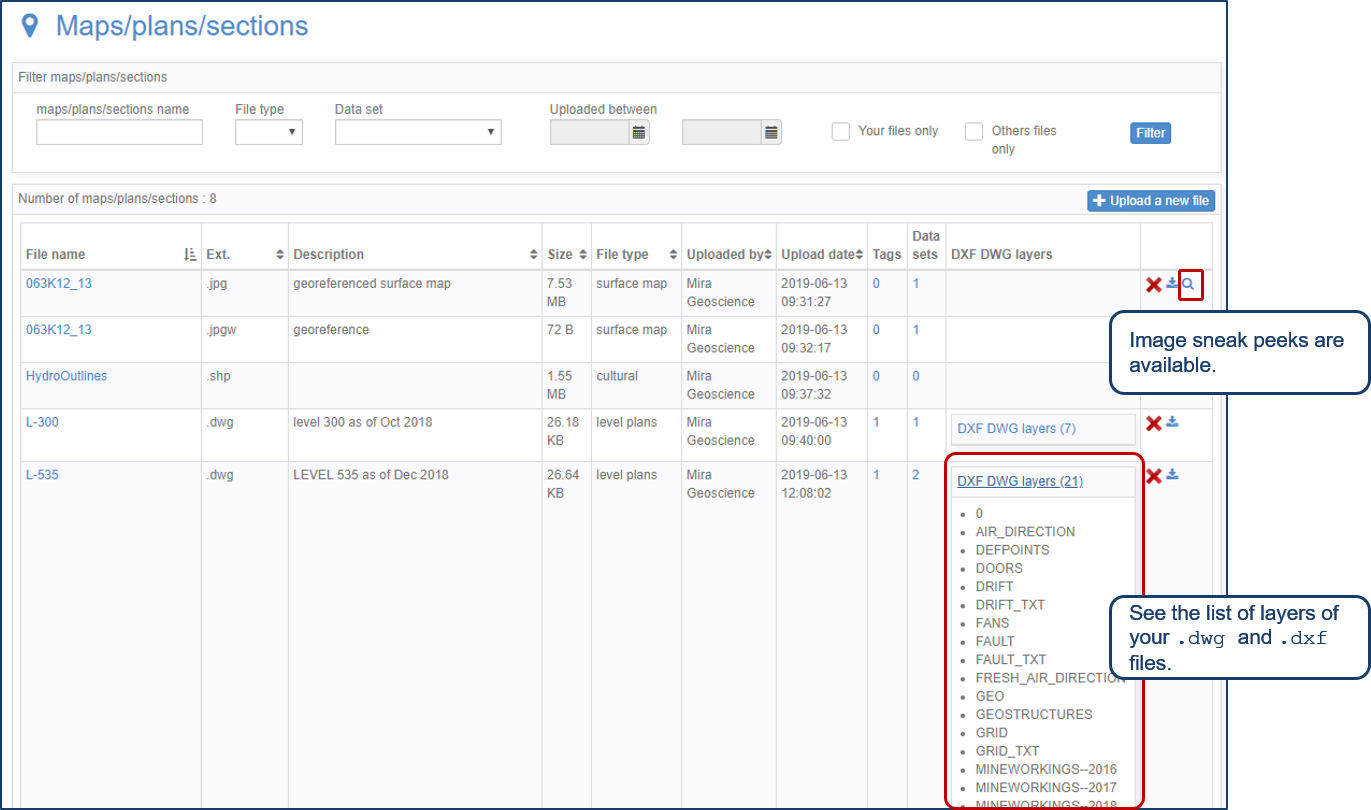
See the list of layers of your .dwg and .dxf files. Image sneak peeks are also available...
Read more
March, 03 2019

Data set search tools

In Geoscience INTEGRATOR, you can search by data set name or description through the Data set search...
Read more
Mineral systems interpretation and targeting
December, 07 2020

Using comment field entries in drillhole databases to automatically re-log lithologies

This approach uses the comment field of the logging table to extract general topics that can then be used as learning features in a supervised machine learning classification approach.
Read more
Software releases
September, 16 2026

New release – Geoscience INTEGRATOR 3.9

This version includes new functionality to provide a better user experience, such as: user notifications, new display options, and more!
Read more
Case studies
August, 16 2023

Chasing Innovation from the Ground Up
Advances in geoscience are built on ingenuity. Circé Malo-Lalande knows it too well. Discover more about Canadian Royalties' fascinating success story.
Read more
Blog news
January, 21 2026

Introducing HiveMap

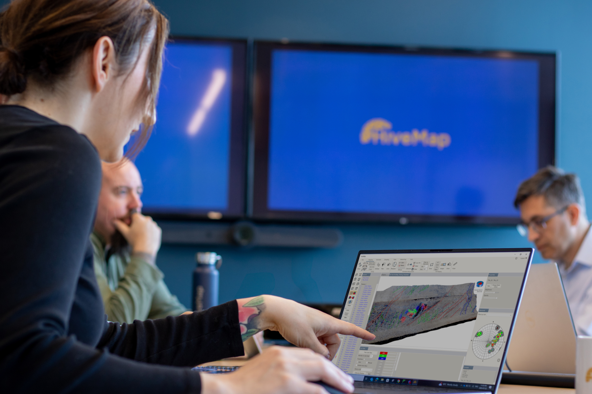
Capture geological observations quickly, safely, and accurately, both in the field and office with HiveMap...
Read more

Please contact our team for additional information about our products and services