


Since objects lists such as drillholes, samples, or stations often have thousands of items, we added a search box to help you find the ones you are looking for.

You can iterate on the search as many times as needed to find and select all the items you want to query.
Previous tips can be found under the Software tip category in the News section and in the Archives section of our website.
Latest news

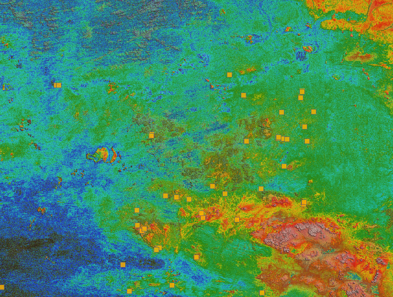
UBC-GIF or VP Suite inversion?
"The programs are complementary, and the combination gives one the ultimate flexibility in potential-field inversion,” says Kristofer Davis, Scientific Programmer at Mira Geoscience.

New importer: 2D SEG-Y
In Geoscience ANALYST you can visualize your block model data by volume in the Visual Parameters panel...
..

Clipping isovalues and sections
In Geoscience ANALYST you can clip isovalues and sections by volume using the free visualization tools to focus on areas of interest in any block model...

15 tips in 15 minutes
15 Geoscience ANALYST tips on advanced visualization and knowledge sharing...

Revolutionizing Subsurface Interpretation and 3D Visualization with Geoscience ANALYST Pro
Discover how EnBW is bridging the gap between 2D mapping, 3D seismic interpretation, and integrated geophysical workflows

Reopening selected commands
In GOCAD Mining Suite the Log and Command Messages panel has a new tool to reopen previously executed commands...
Building a greenfields project from public data in Geoscience ANALYST Pro – Virtual Lecture
See recording - Gem shows how Geoscience ANALYTS is a great tool to do exploration without getting your boots dirty...

Attending PDAC 2026?
Visit us at booth 814 to see our software solutions in action and discuss your needs with our expert team!

Import geoh5 into GOCAD Mining Suite
Seamlessly go between GOCAD Mining Suite and Geoscience ANALYST...

Customizing metadata
Version 3.0 of Geoscience INTEGRATOR has a new layout for data set summaries that allows you to document any general information as custom...

DC resistivity inversion in Geoscience ANALYST Pro Geophysics
Past event, view here or via our YouTube channel...

Machine learning in mineral exploration
We have applied machine learning as part of custom solutions to complex exploration and geotechnical problems since 2015...